Four landscapes, one border — From the Alps to the Adriatic
The Rapallo Border was not a uniform line. Over 244 kilometres it crossed four entirely different landscapes — from snow-capped Alpine ridges to settled hills, vast Dinaric forests and the urban environment of an Adriatic port. The mixed border commission followed this same division.

The border ran along the high-mountain ridge of the Julian Alps from the tripoint at Peč to Hoč. Many peaks — Triglav, Jalovec, Mangart — were on the border or just beside it.

The central section of the border passed through settled areas — Idrija, Logatec, Rakek and Postojna. Here the border most directly affected the daily lives of local communities.
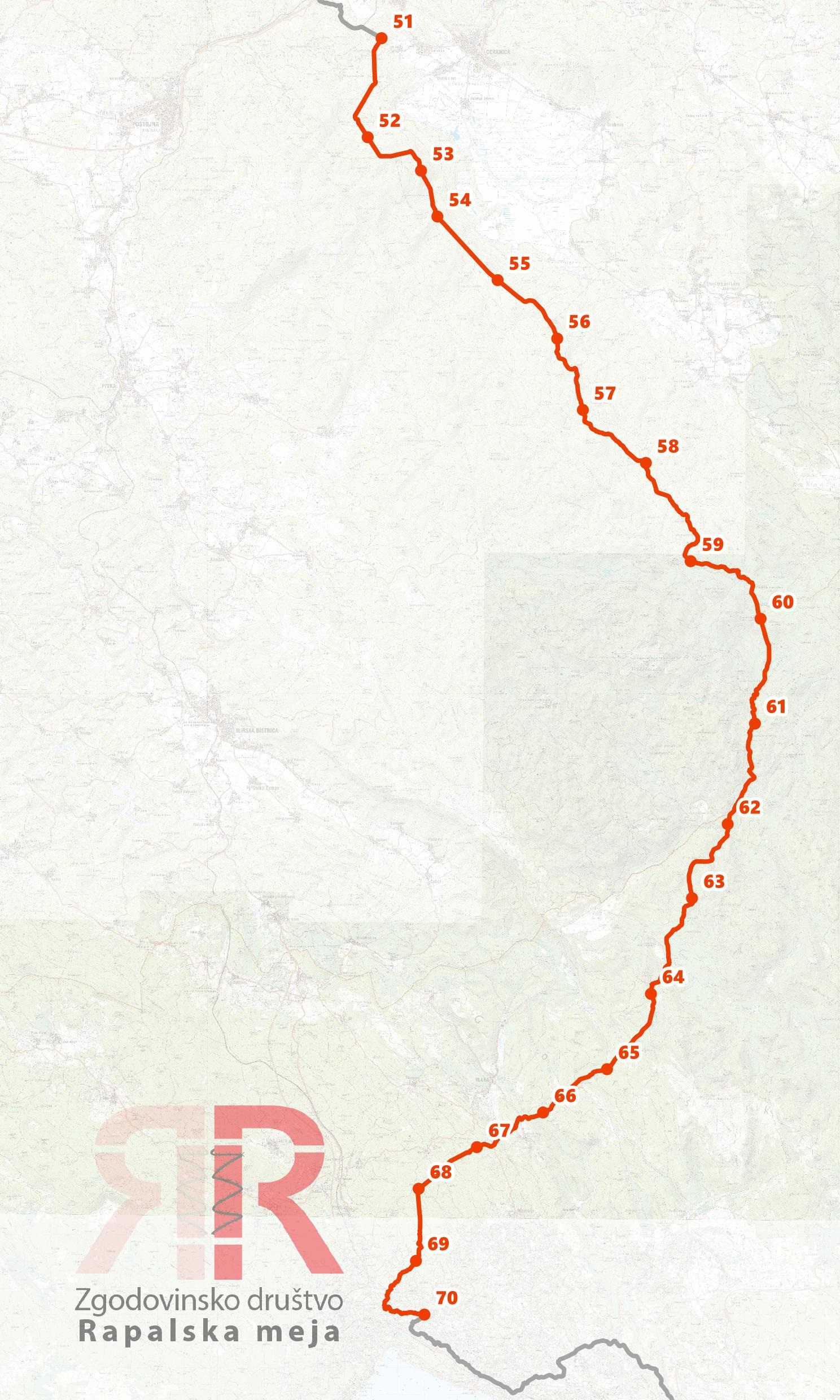
The southern section of the border ran from the Snežnik massif to the Adriatic Sea at Matulji.

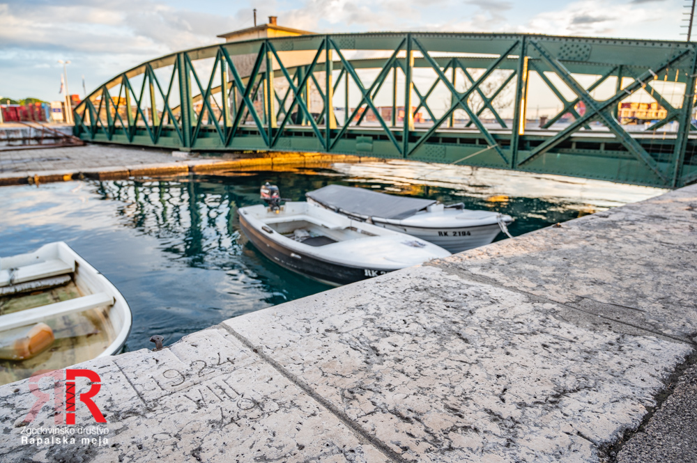
After the abolition of the Free State of Fiume in 1924, the border was extended to the Adriatic Sea. The port of Baroš went to Yugoslavia, while the city of Fiume went to Italy.
Northern section - Julian Alps
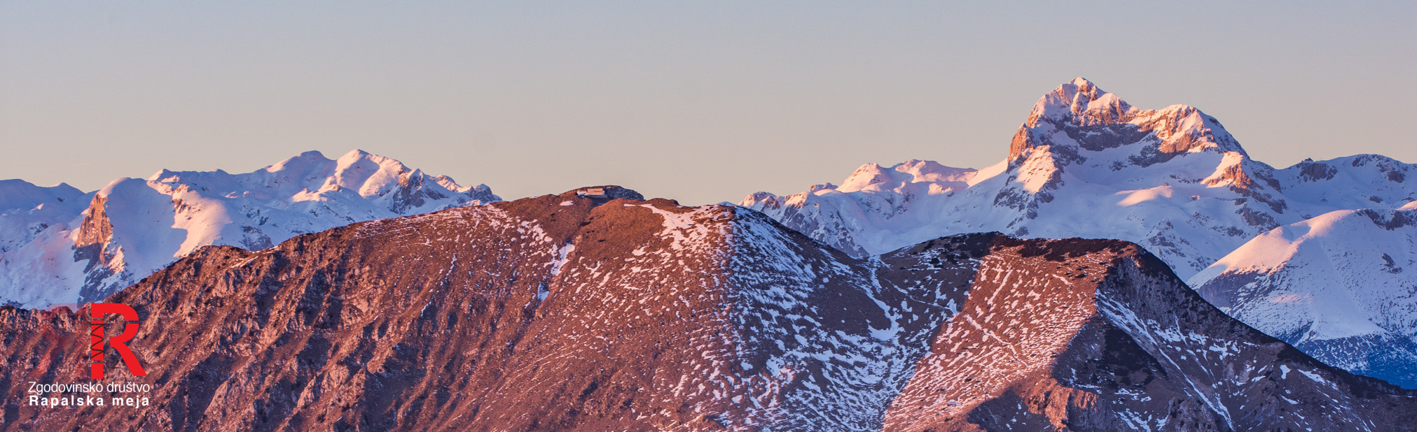
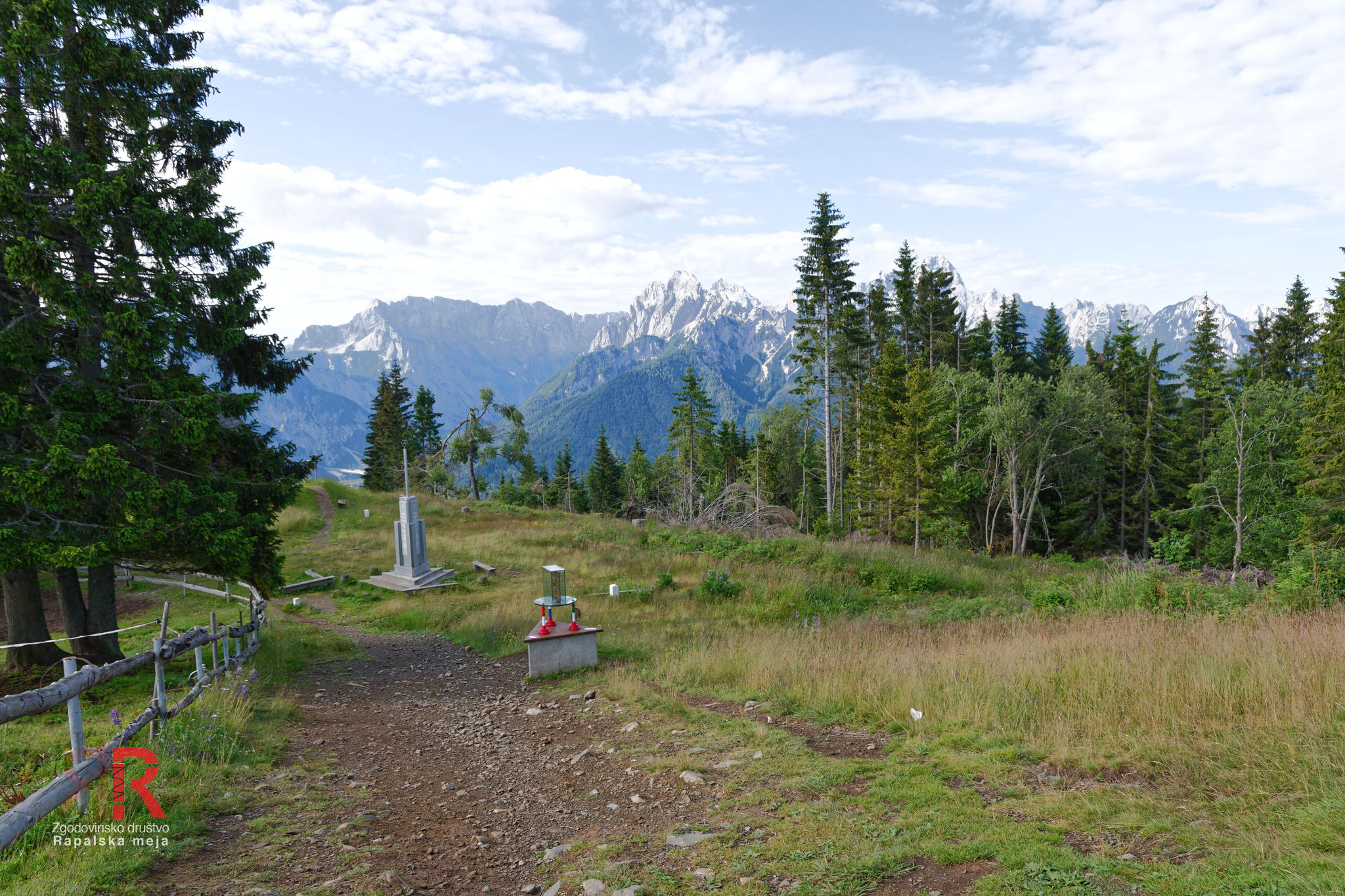
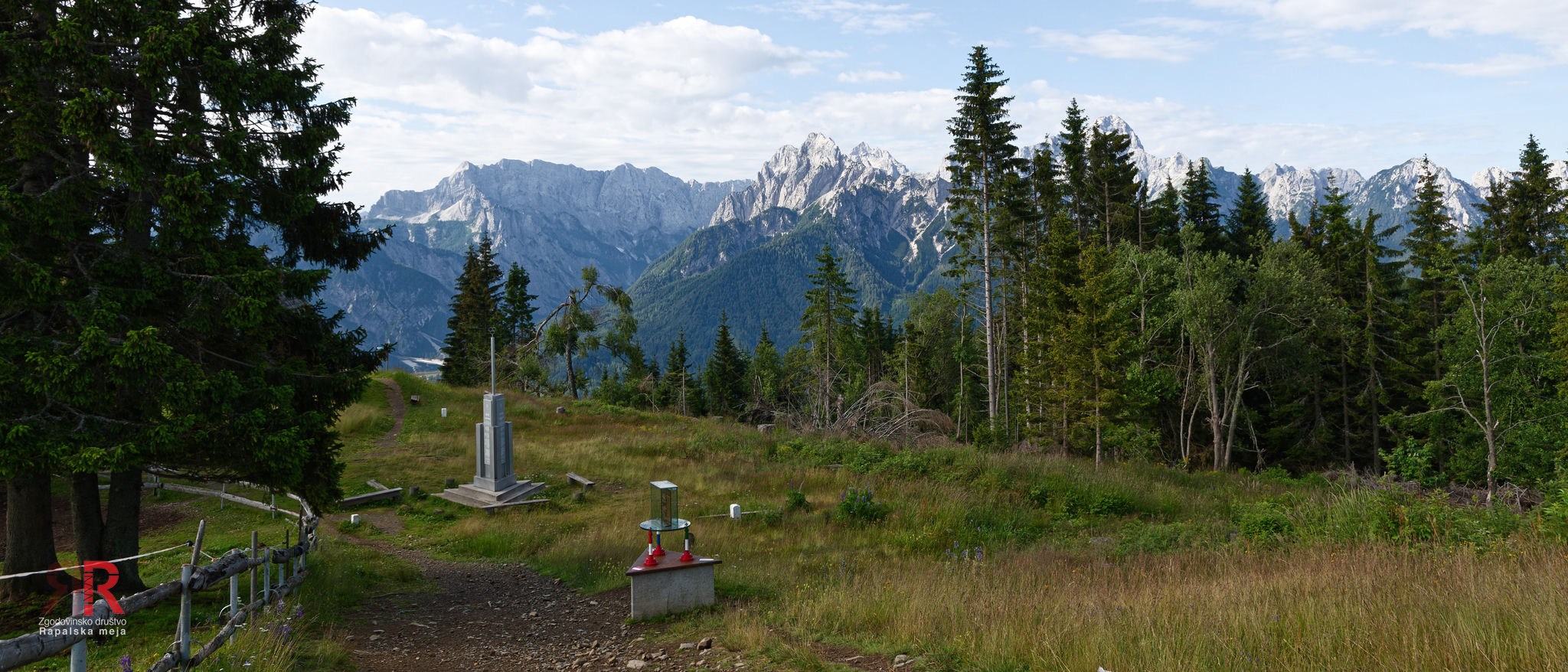
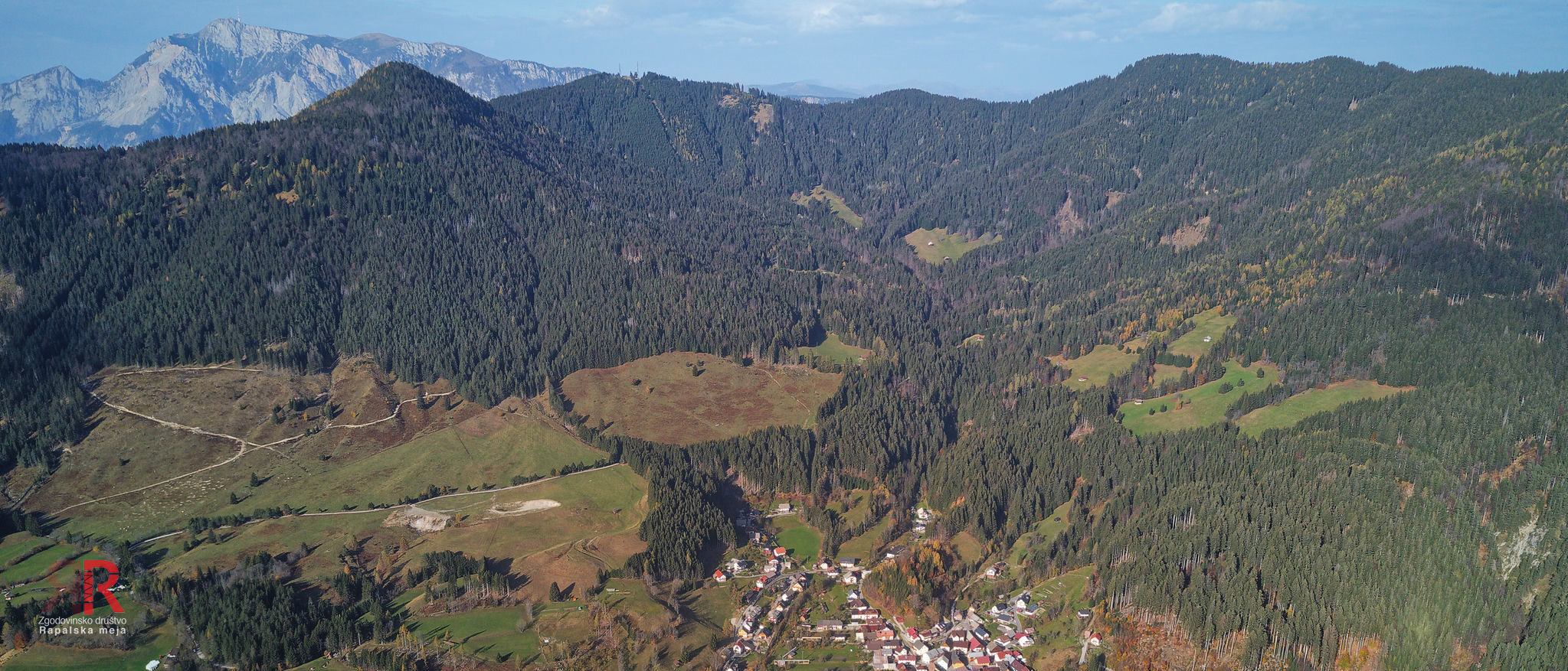
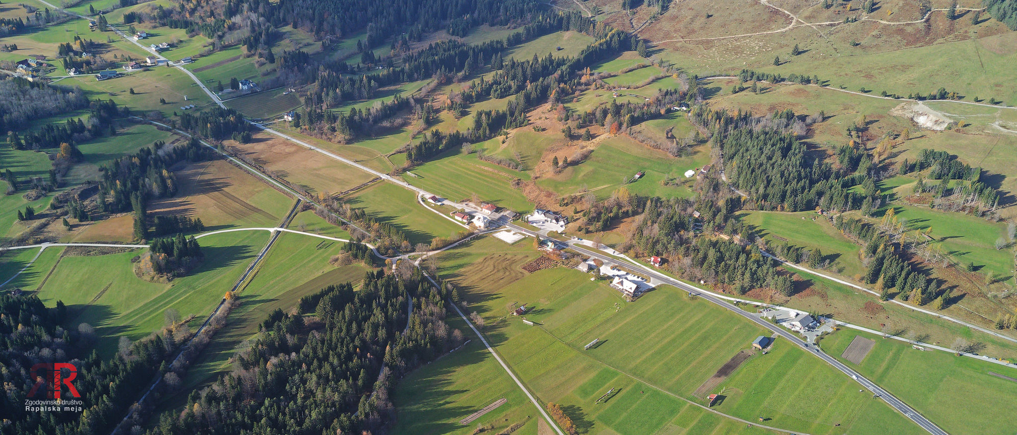
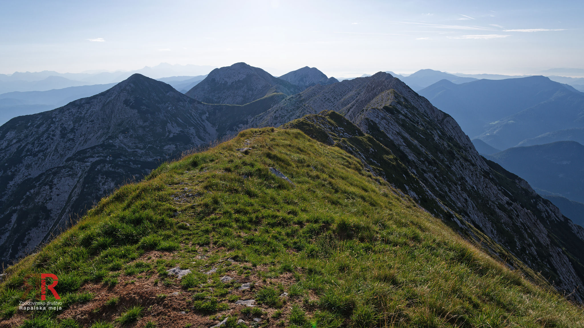
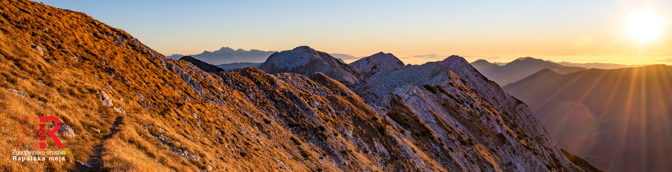
The northern section of the Rapallo Border begins at the summit of Peč (1508 m) — the tripoint of Austria, Italy and Slovenia that still exists today. From here the border descends into the Upper Sava valley at Rateče and then rises along the Ponce ridge to V konca špice (2351 m). This section is the only part of the Rapallo Border that still holds as a state border between Slovenia and Italy today. From V konca špice onwards the original Rapallo Border turned eastward — across Kotovo sedlo, Jalovec (2645 m), Mala Mojstrovka and the Vršič pass (1611 m), which thereby became a border area. The border then ran across Prisojnik and Kriška stena — Razor (2601 m) fell entirely to Italy — and descended across Bovški Gamsovec to the alpine crossing at Luknja and rose to Triglav (2863 m by the measurement of the time). From Triglav the border followed the ridge across Dolič, Kanjavec and the Valley of the Seven Lakes to the Lepošpičje ridge. Here it even encroached upon the boundaries of the then newly established Triglav Lakes Valley park: the two highest lakes ended up in Italy and were excluded from the original protected area. The Italians renamed the highest lake tellingly Lago Zero — Lake Zero.
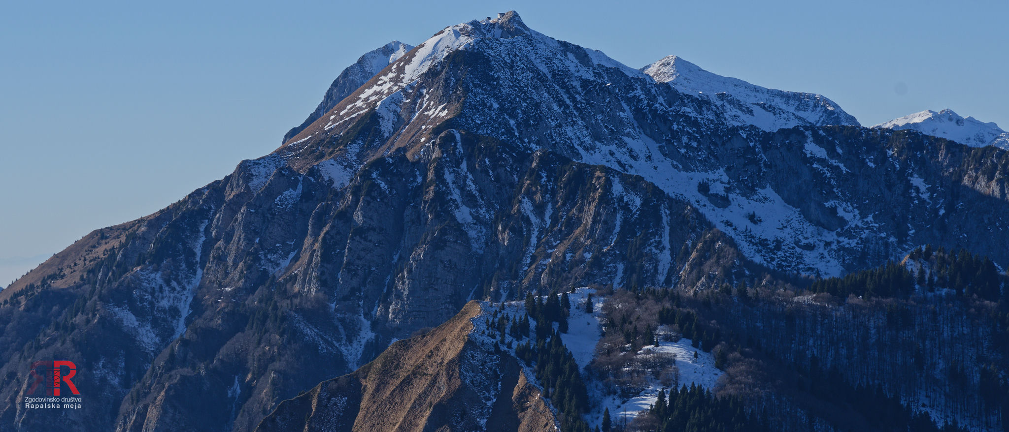
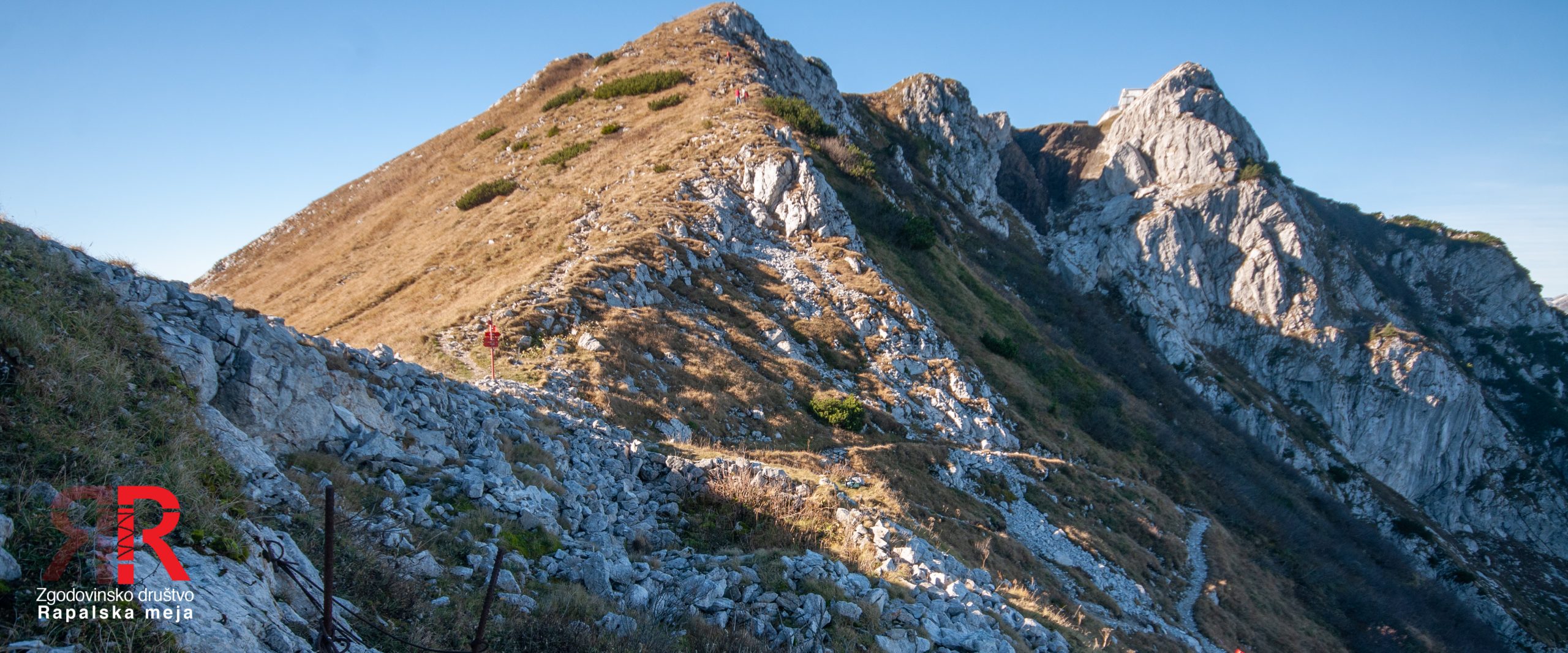
At Velika vrata the border cut across old grazing paths between the Upper Soča valley and the high-mountain pastures — overnight, inhabitants found themselves cut off from their centuries-old pastures. From Bogatinsko sedlo (1803 m) onwards the border follows the watershed almost precisely: across Veliki Bogatin, Tolminski Kuk, Vogel, Rodica and Črna prst (1844 m) it runs along the very ridge itself. Only above Soriška planina does it cross over to the Gorenjska side and via Šavnik, Čevžl and Dravh reaches the Petrovo Brdo pass (797 m). Here it leaves the Julian Alps and rises steeply to Hoč (1514 m) — the last peak of the northern section.
Sector 1 - Peč (Tromeja) - Rateče

Sector 2 - Rateče - Visoka Ponca
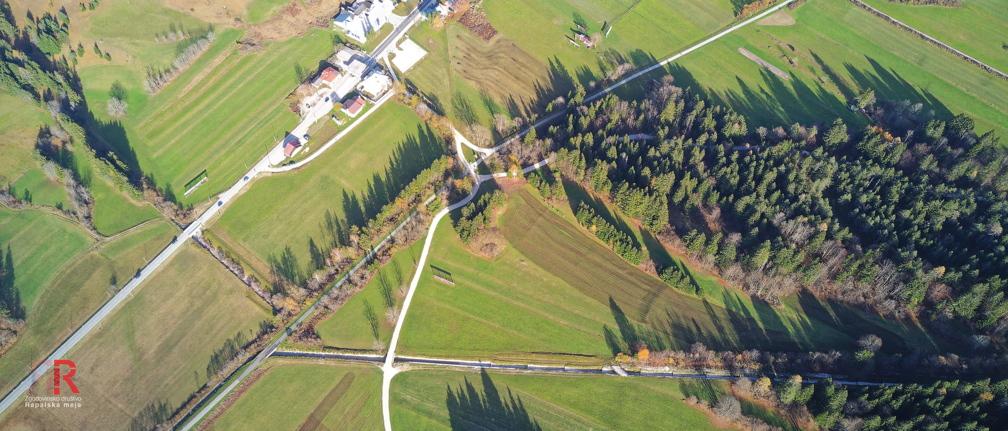
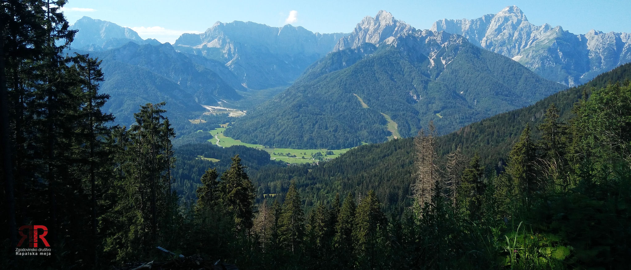


Sector 3 - Visoka Ponca - Kotovo sedlo
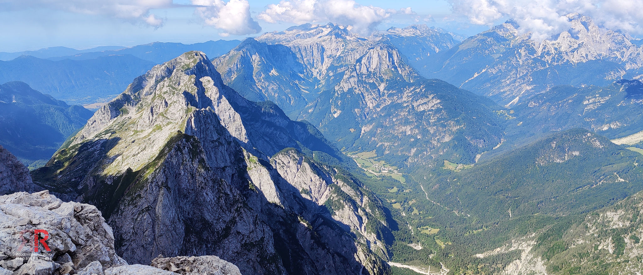

Sector 4 - Kotovo sedlo - Jalovec - Jalovška škrbina
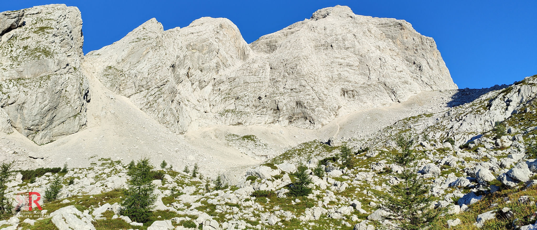
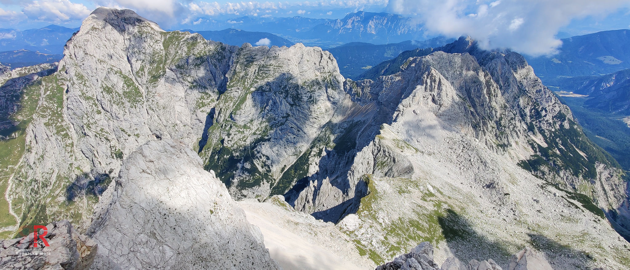


Sector 5 - Jalovška škrbina - Travnik - Mala Mojstrovka

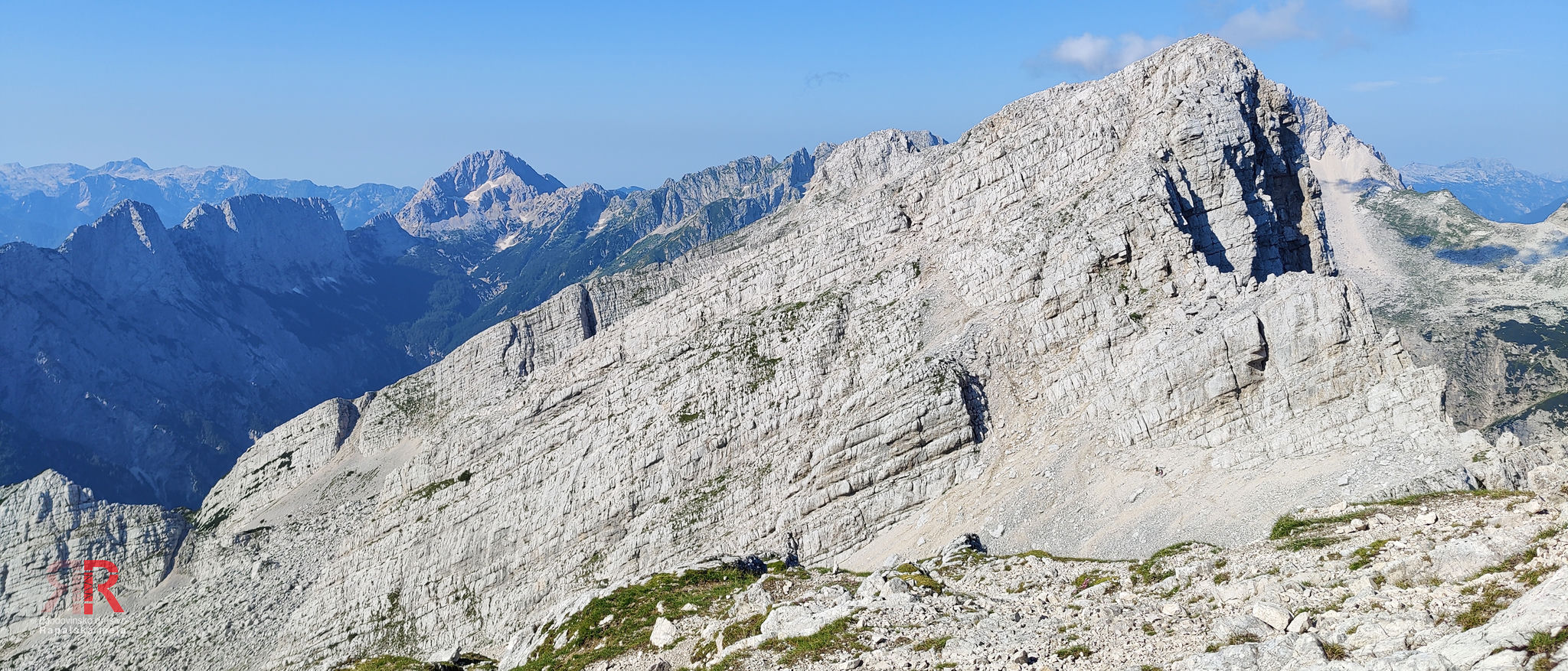

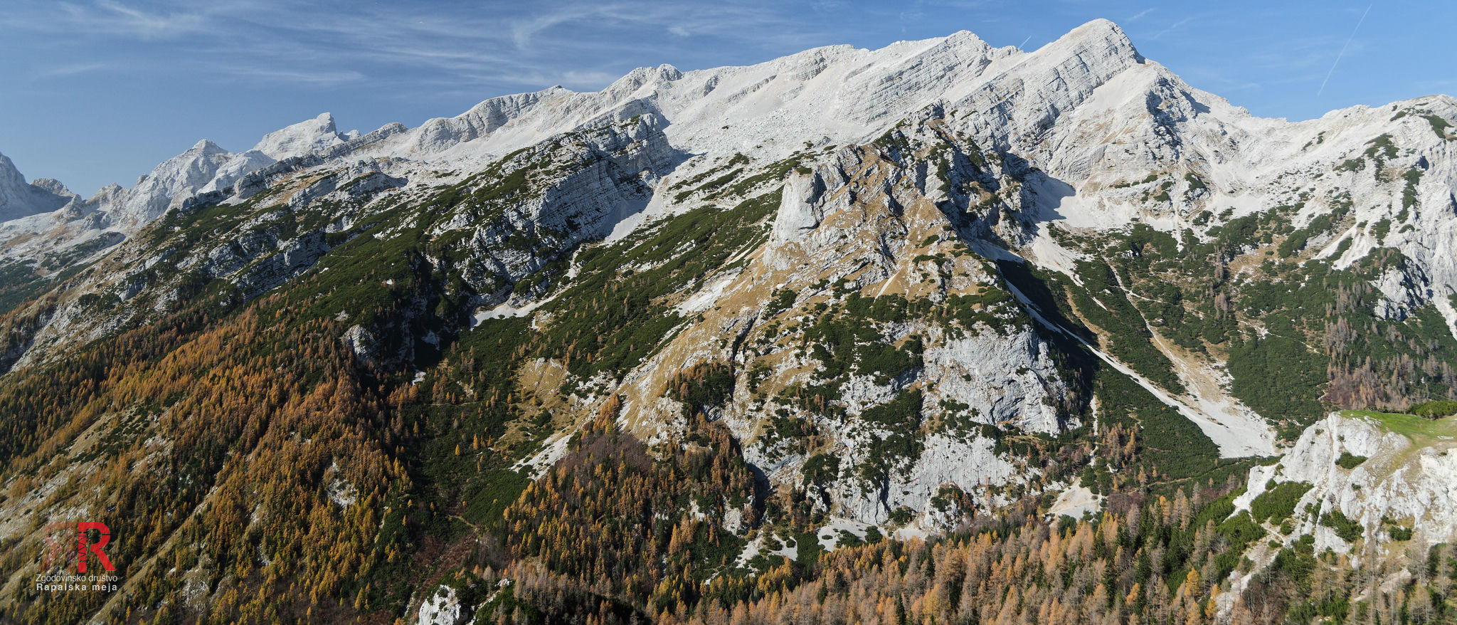
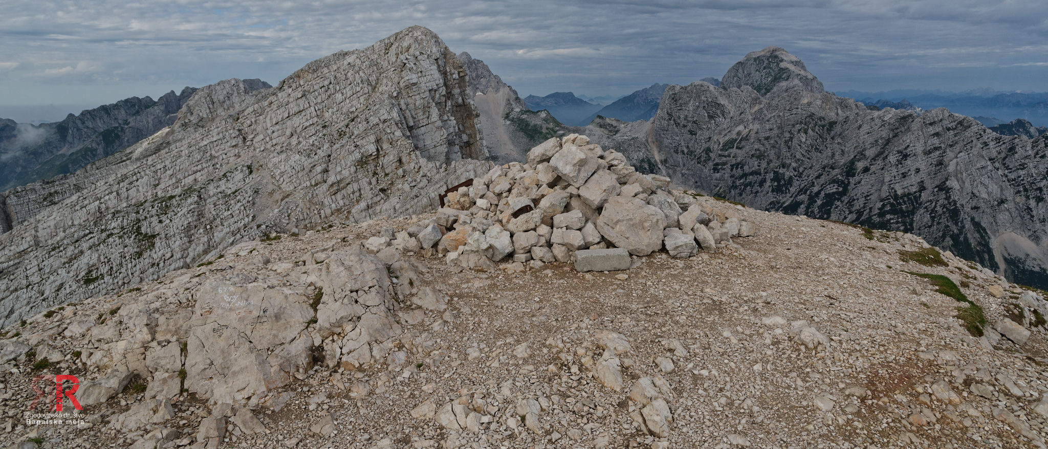

Sector 6 - Mala Mojstrovka - Nad Šitom Glava - Vršič
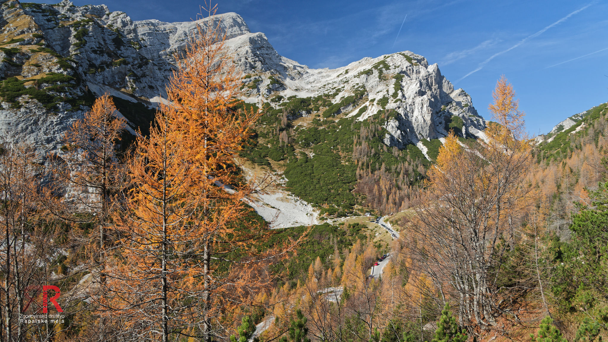
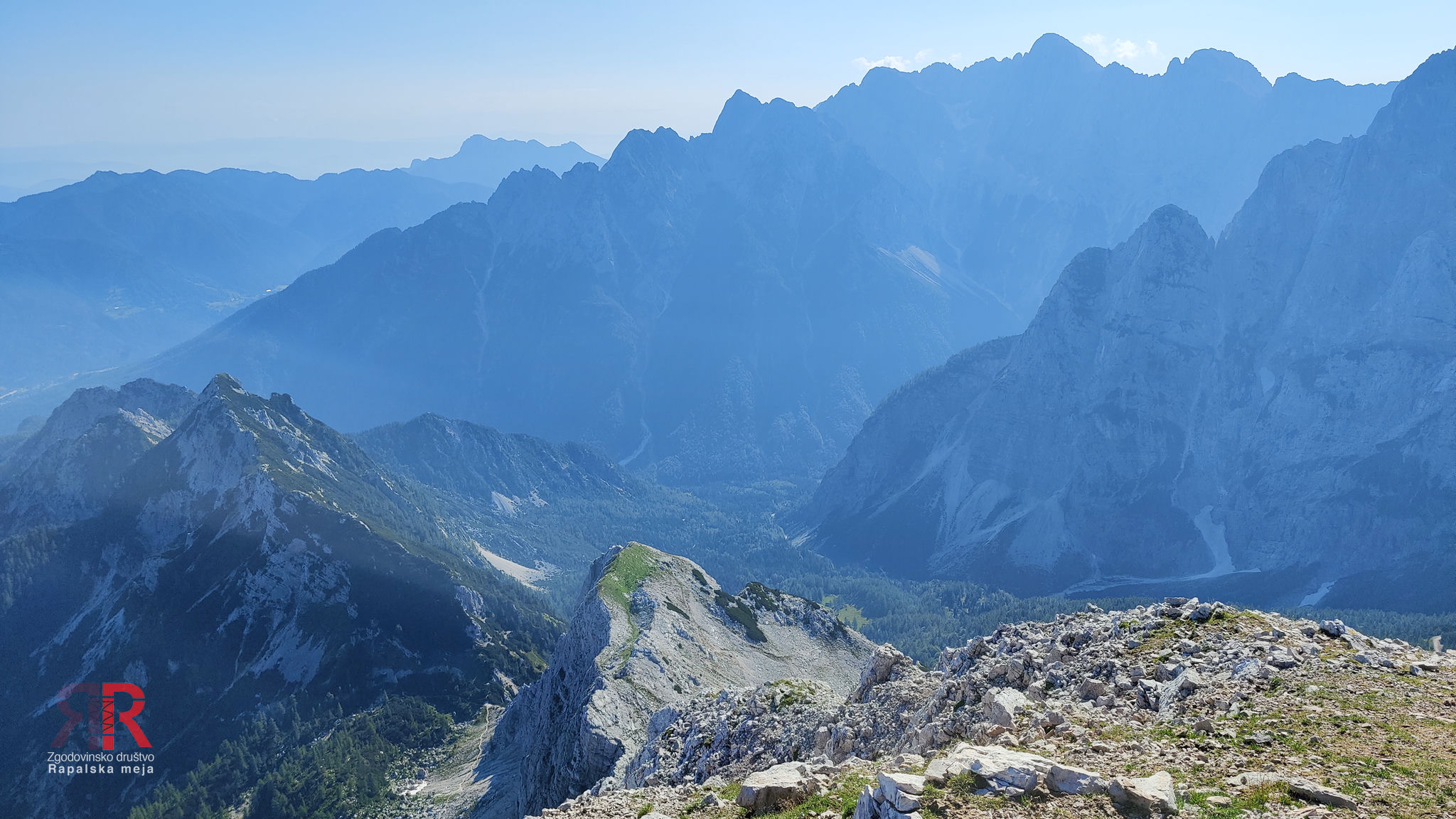

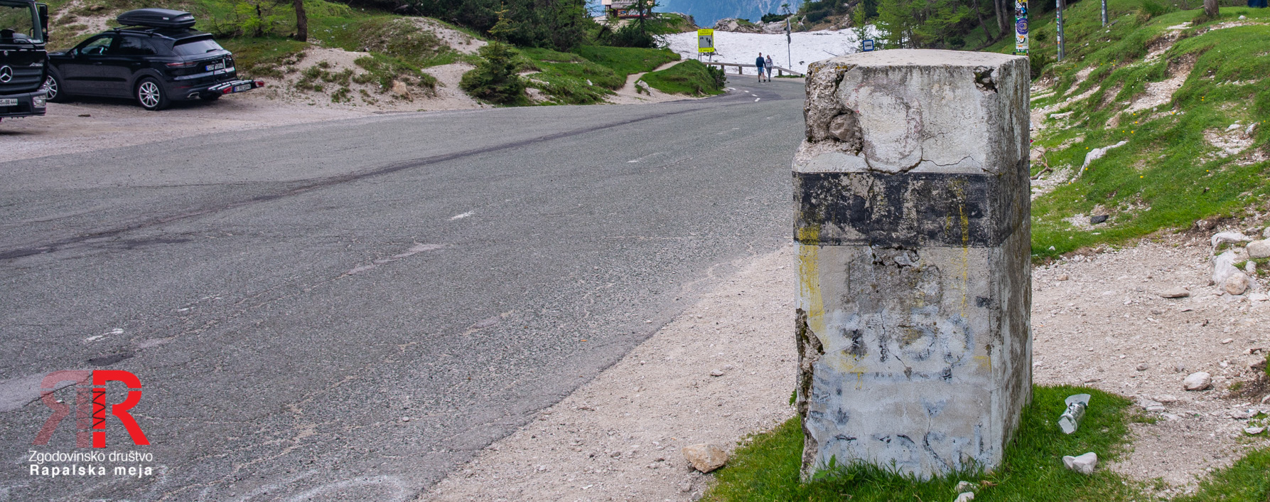

Sector 7 - Vršič - Prisojnik - Dovška vrata
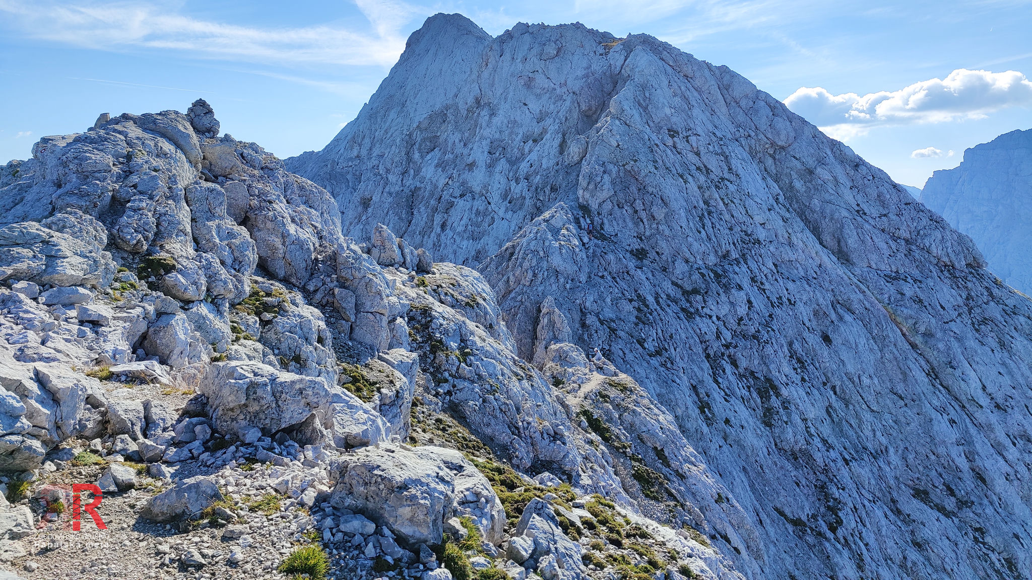
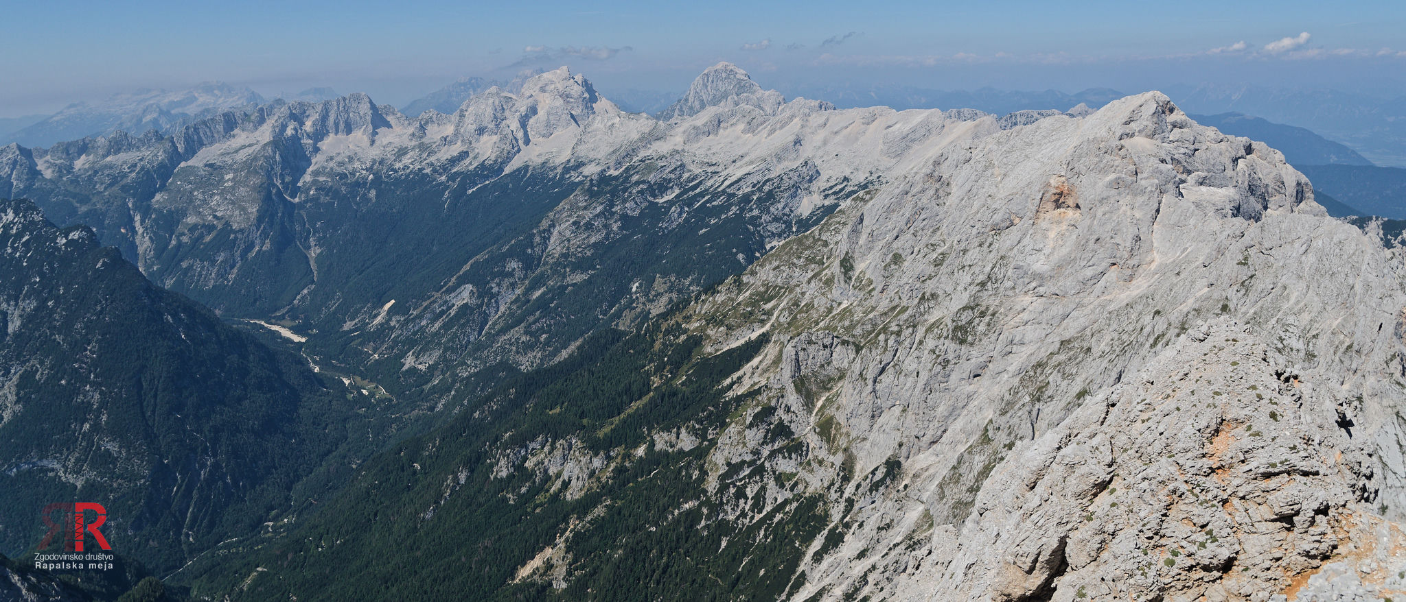

Sector 8 - Dovška vrata - Bovški Gamsovec - Luknja

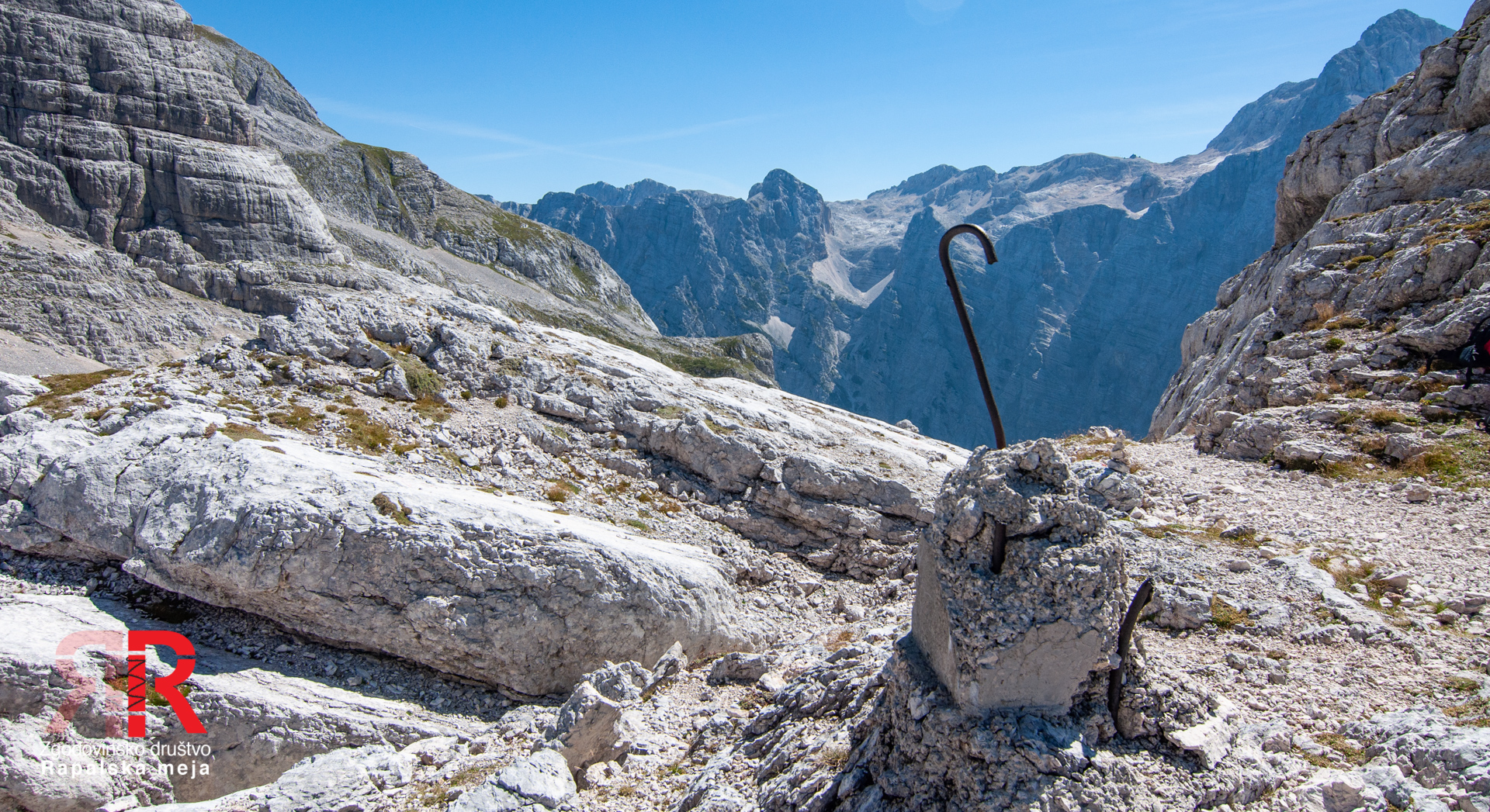

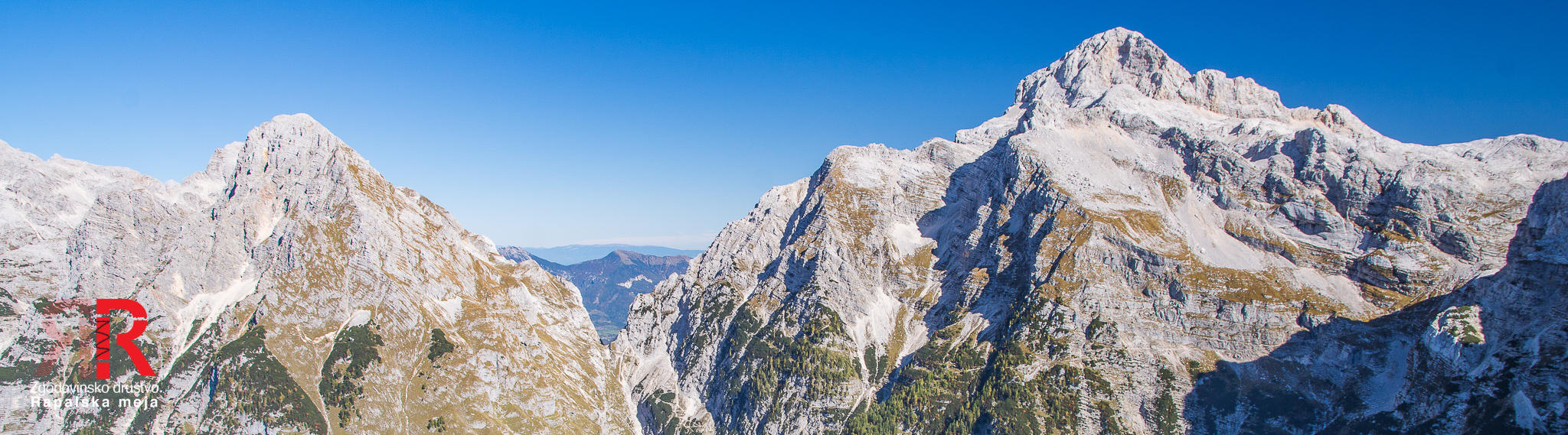
Sector 9 - Luknja - Triglav
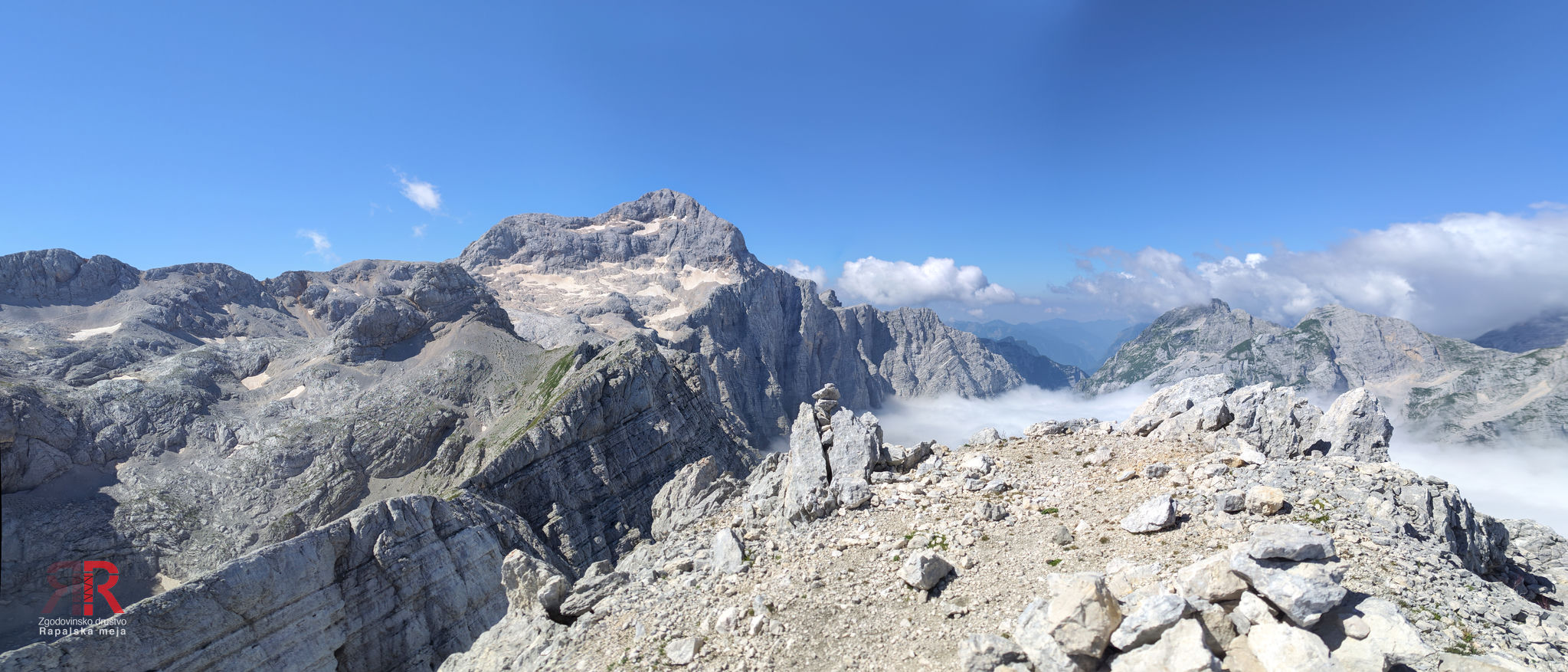

Sector 10 - Triglav - Dolič
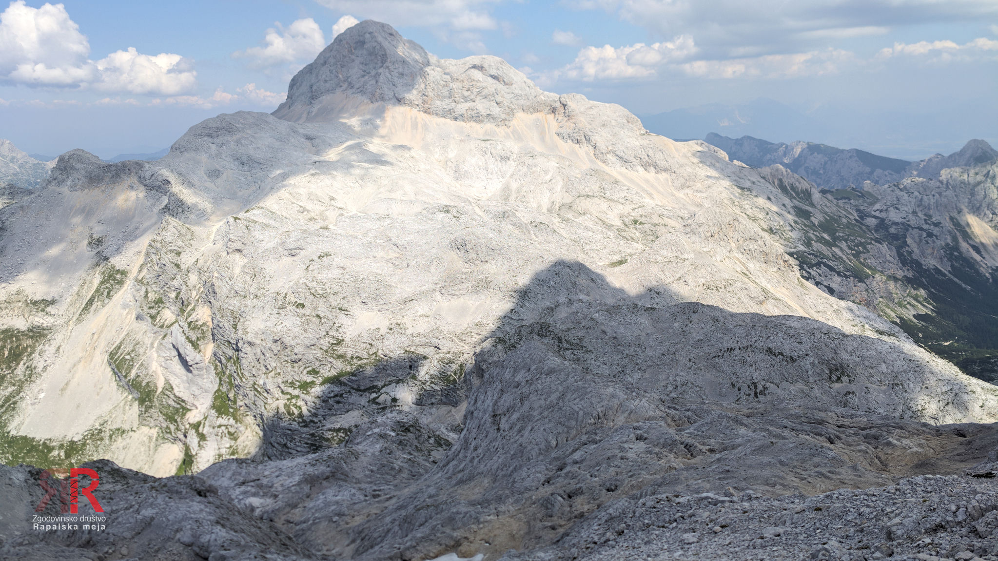


Sector 11 - Dolič - Kanjavec - Prehodavci


Sector 12 - Prehodavci - Lepošpičje - Plaski Vogel - Čelo - Velika vrata
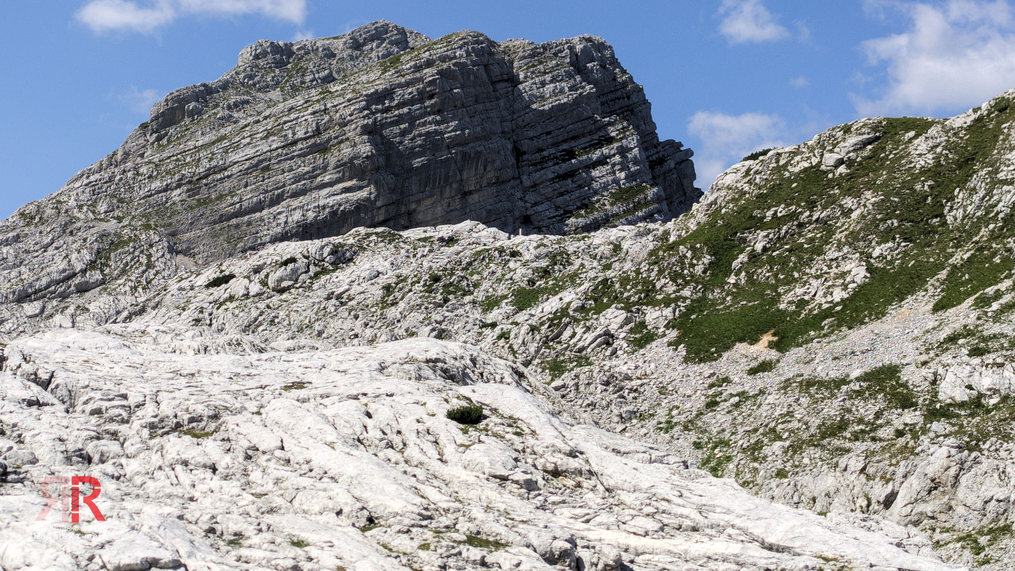


Sector 13 - Velika vrata - Kal

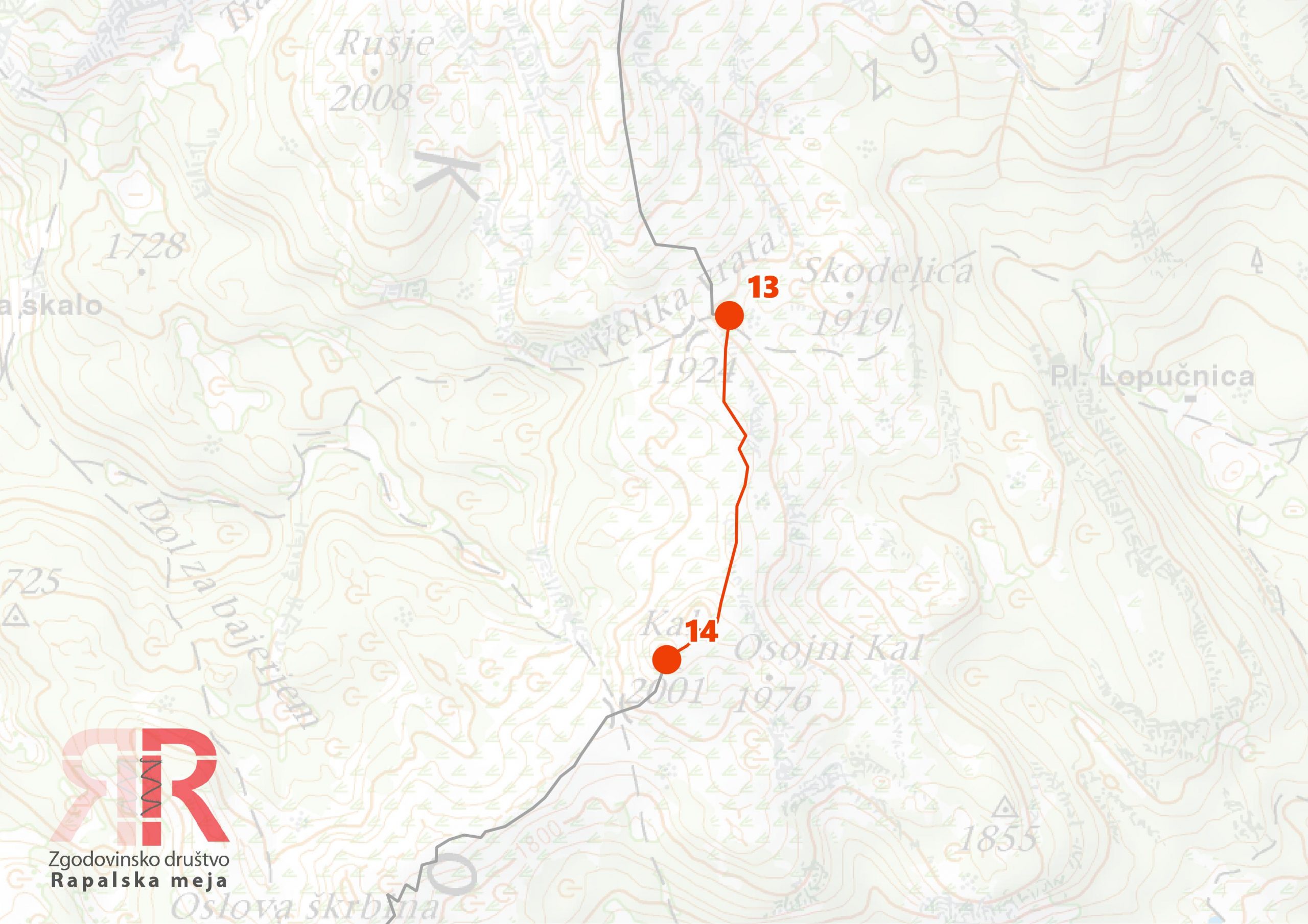
Sector 14 - Kal - Oslova škrbina - Lanževica
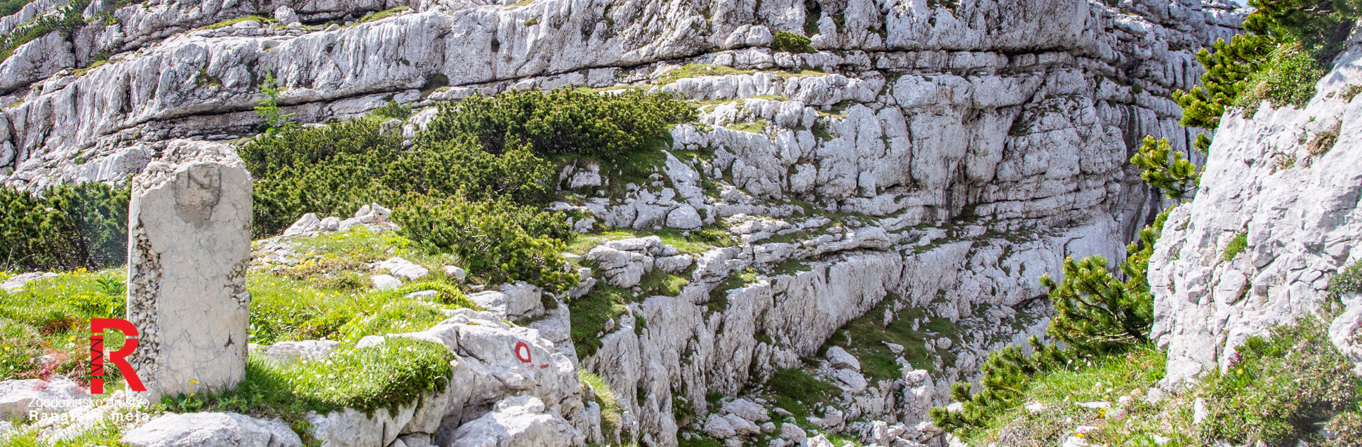

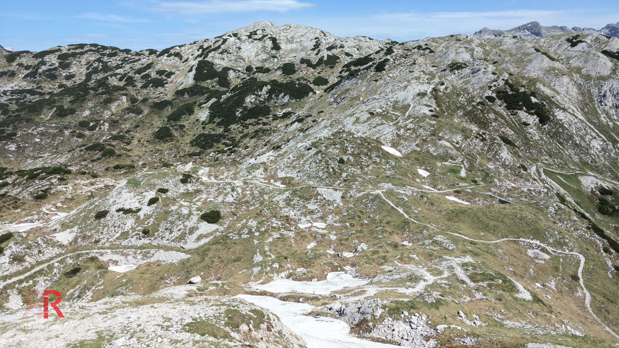
Sector 15 - Lanževica - Bogatinsko sedlo


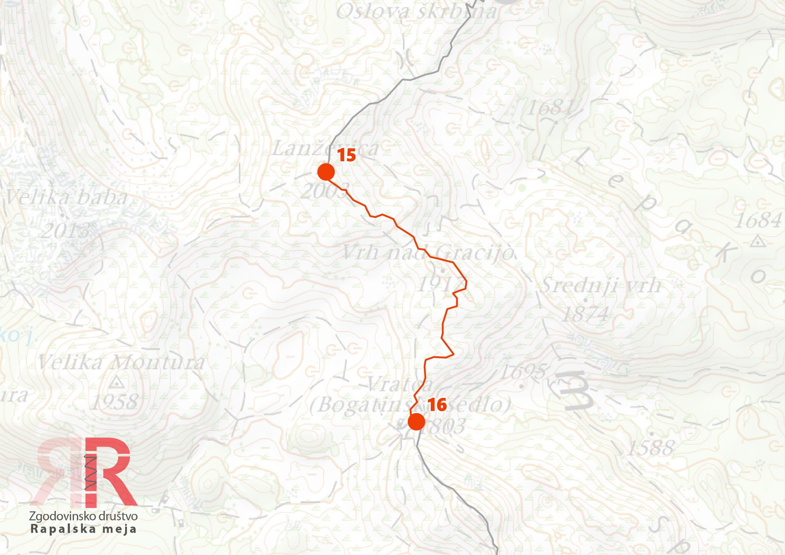
Sector 16 - Bogatinsko sedlo - Veliki Bogatin - sedlo Dobrenjščica



Sector 17 - Sedlo Dobrenjščica - Tolminski Kuk

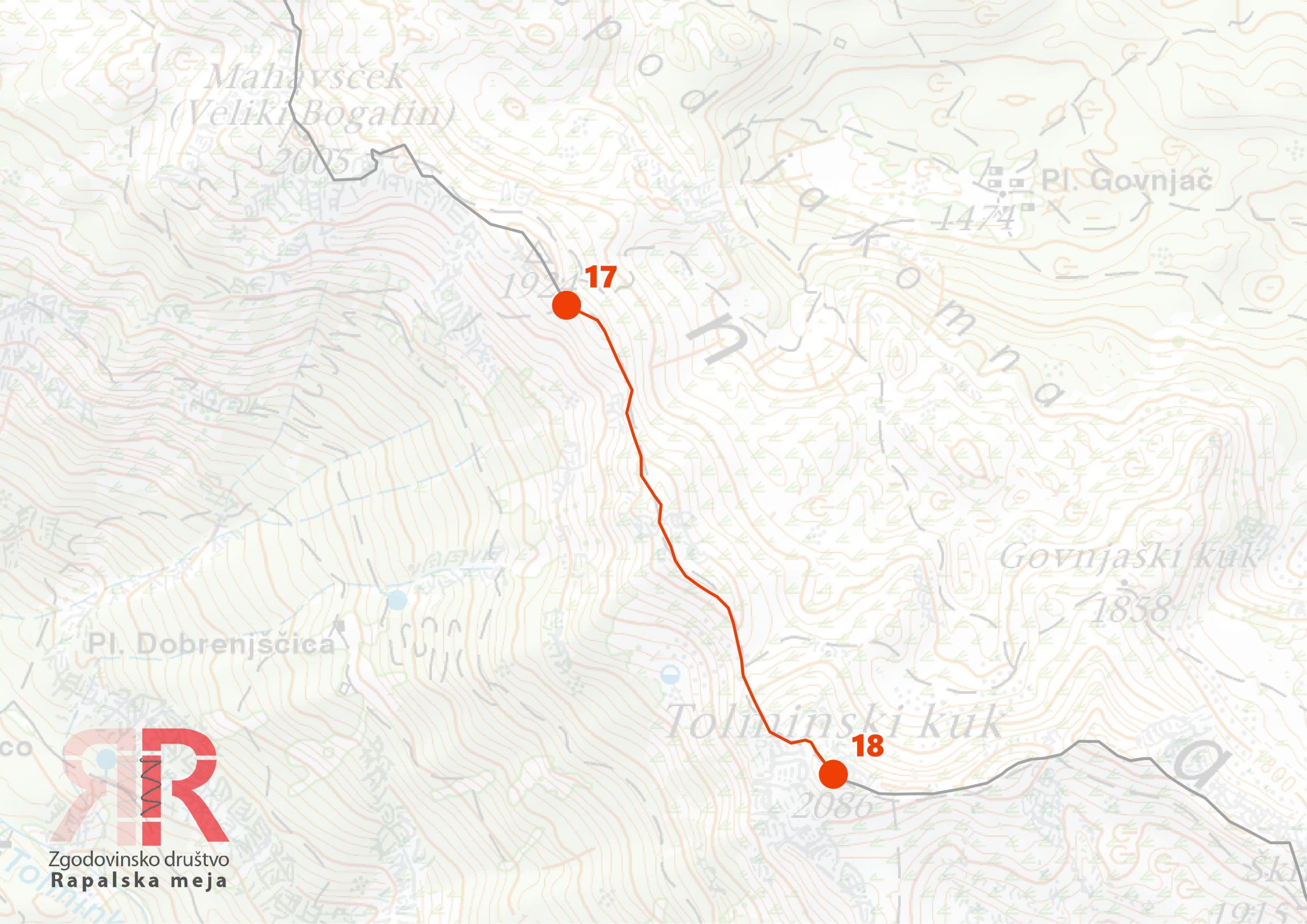
Sector 18 - Tolminski Kuk - Škrbina
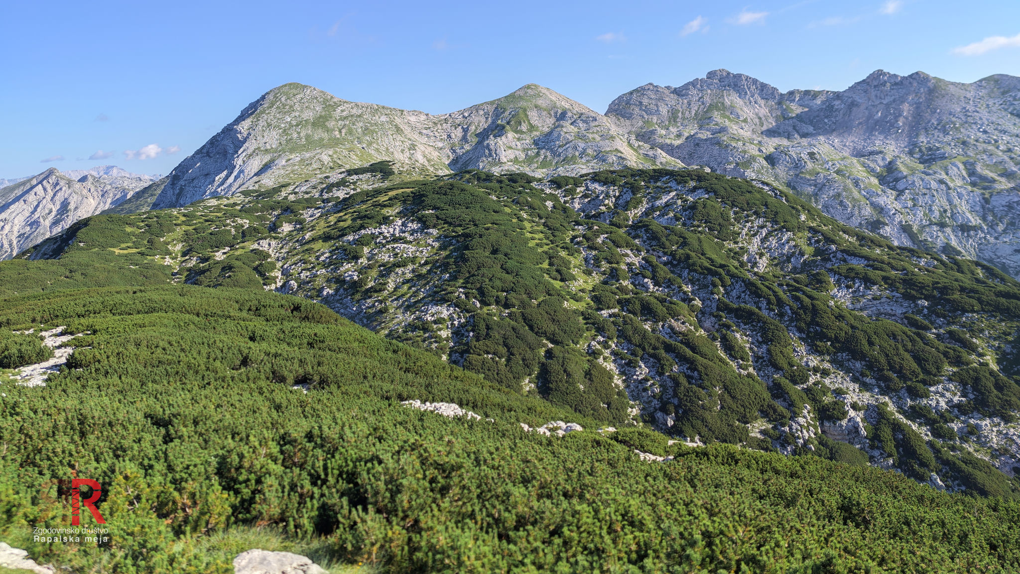
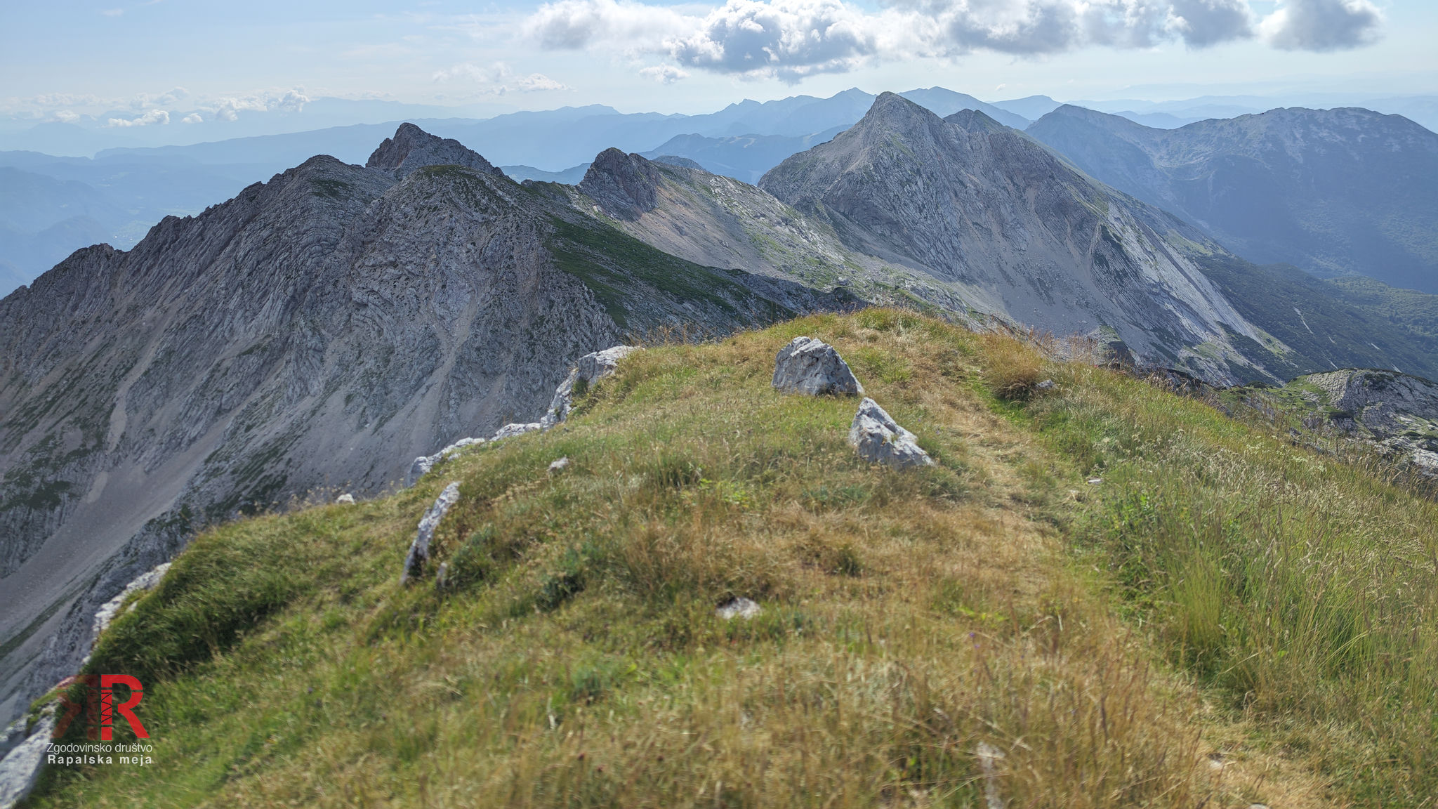


Sector 19 - Škrbina - Vrh nad Škrbino - Globoko

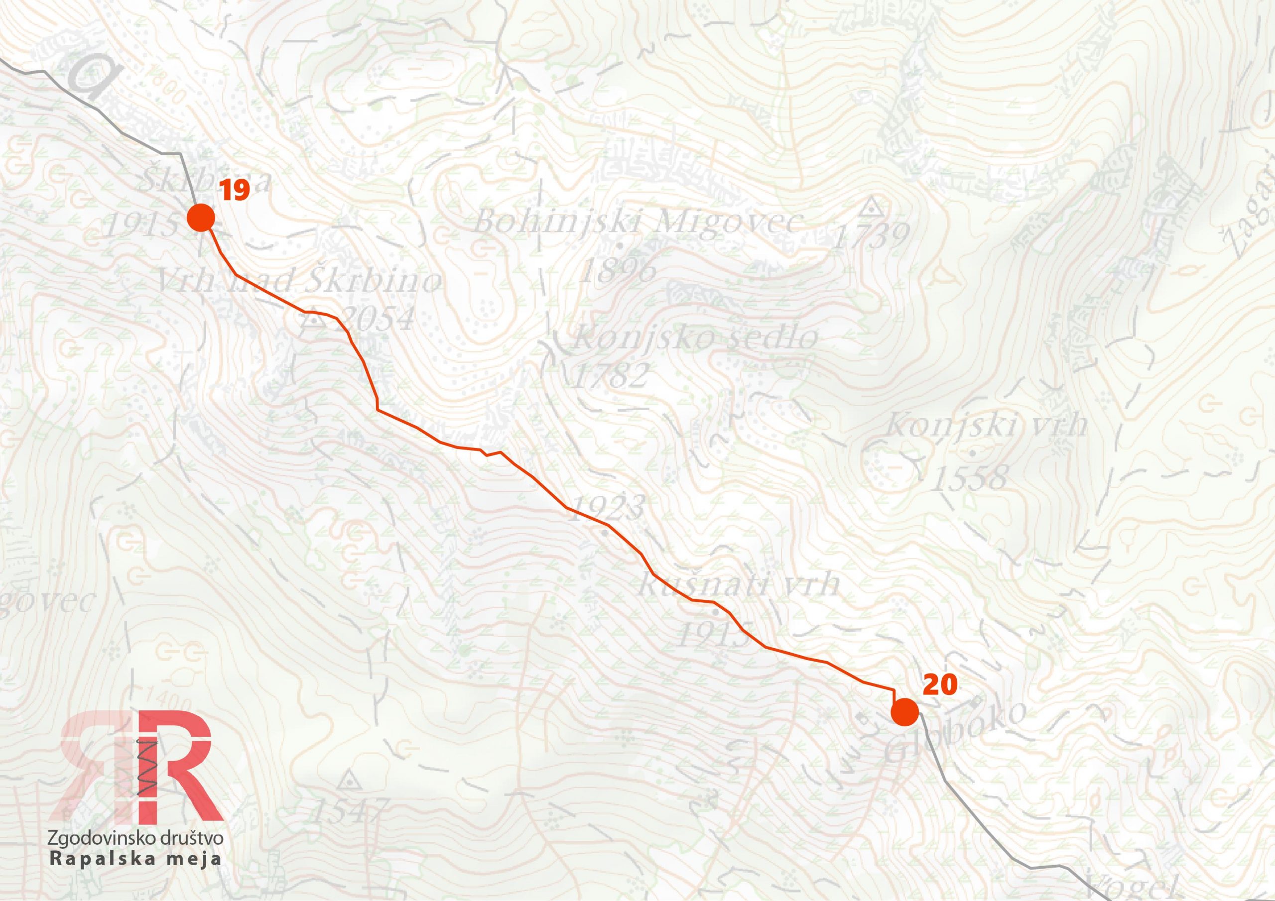
Sector 20 - Globoko - Vogel - Šija


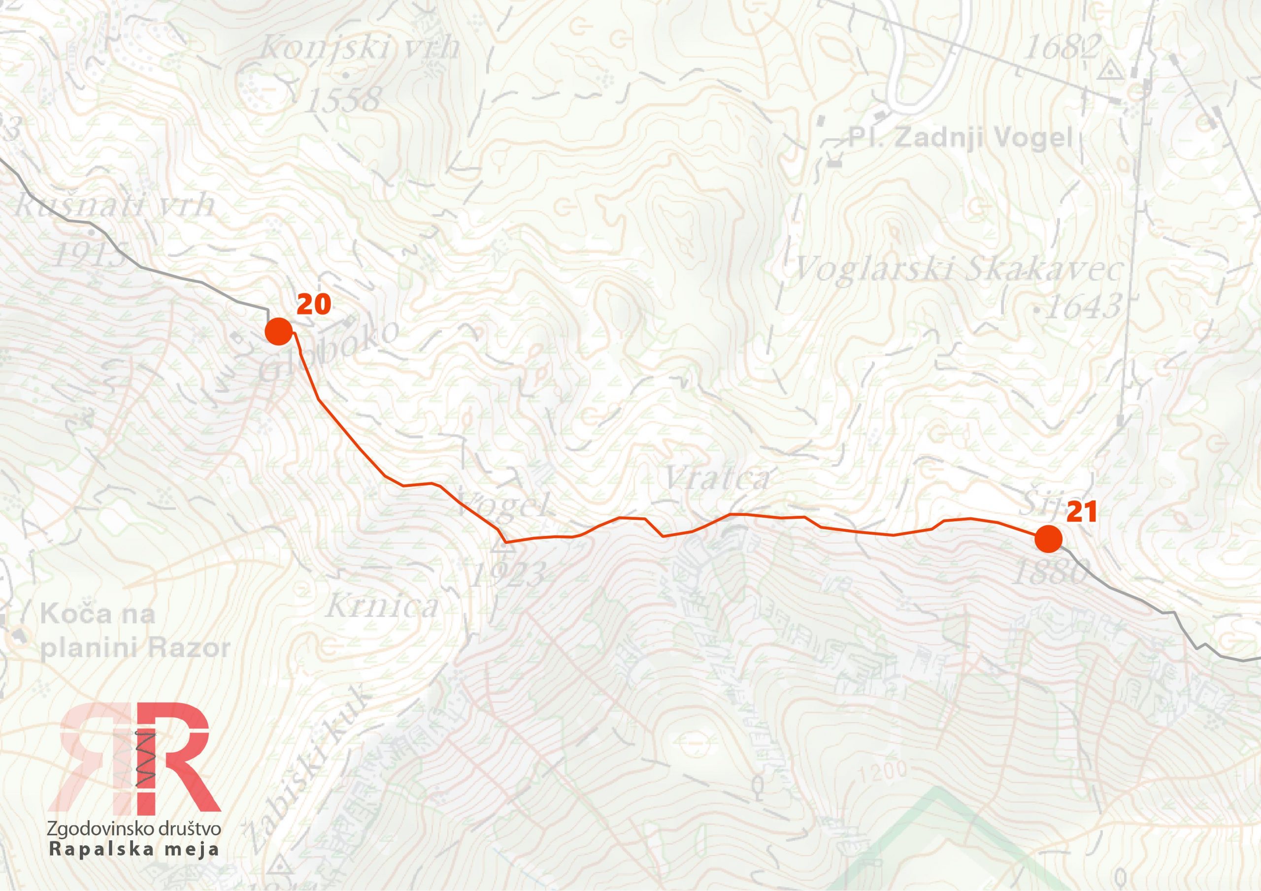
Sector 21 - Šija - Rodica


Sector 22 - Rodica - Raskovec - Matajurski vrh
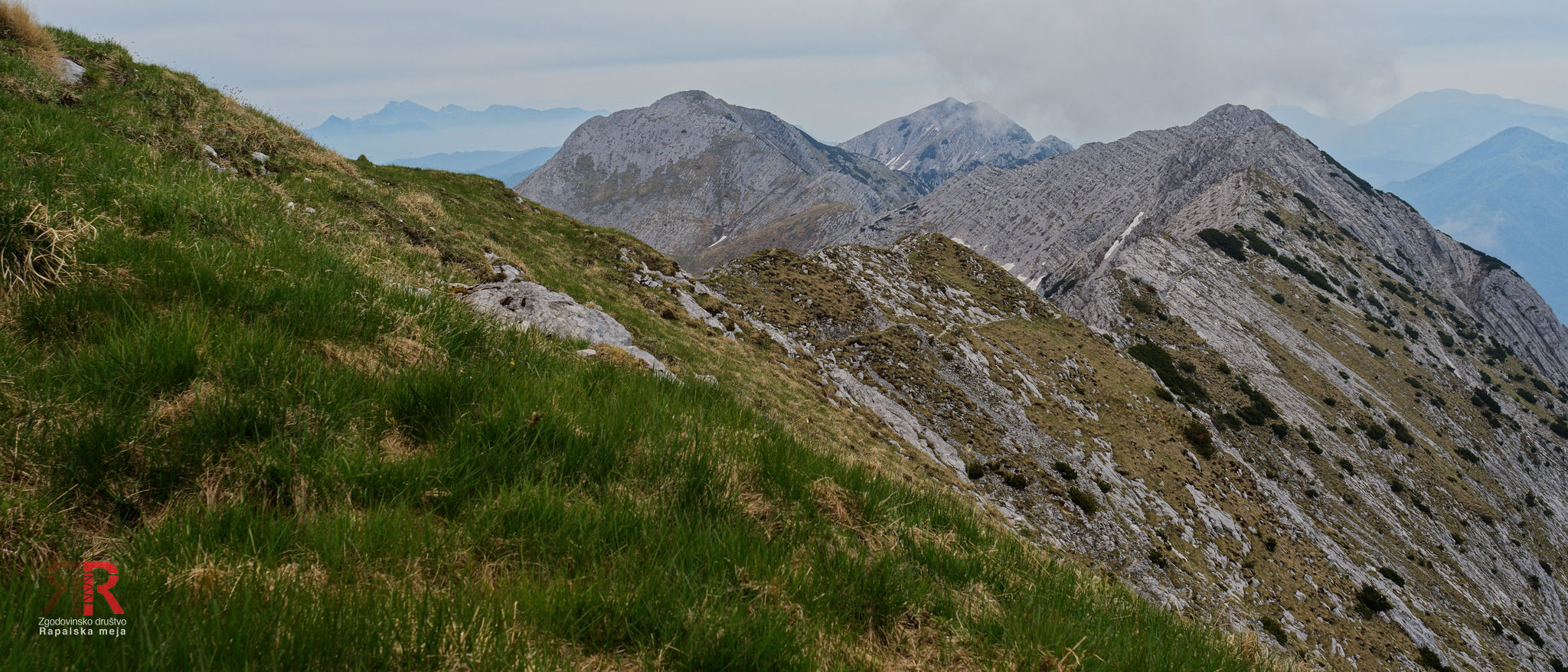

Sector 23 - Matajurski vrh - Črna prst - Čez Suho


Sector 24 - Čez Suho - Šoštar - Na Kalu


Sector 25 - Na Kalu - Kobla - Vrh Bače
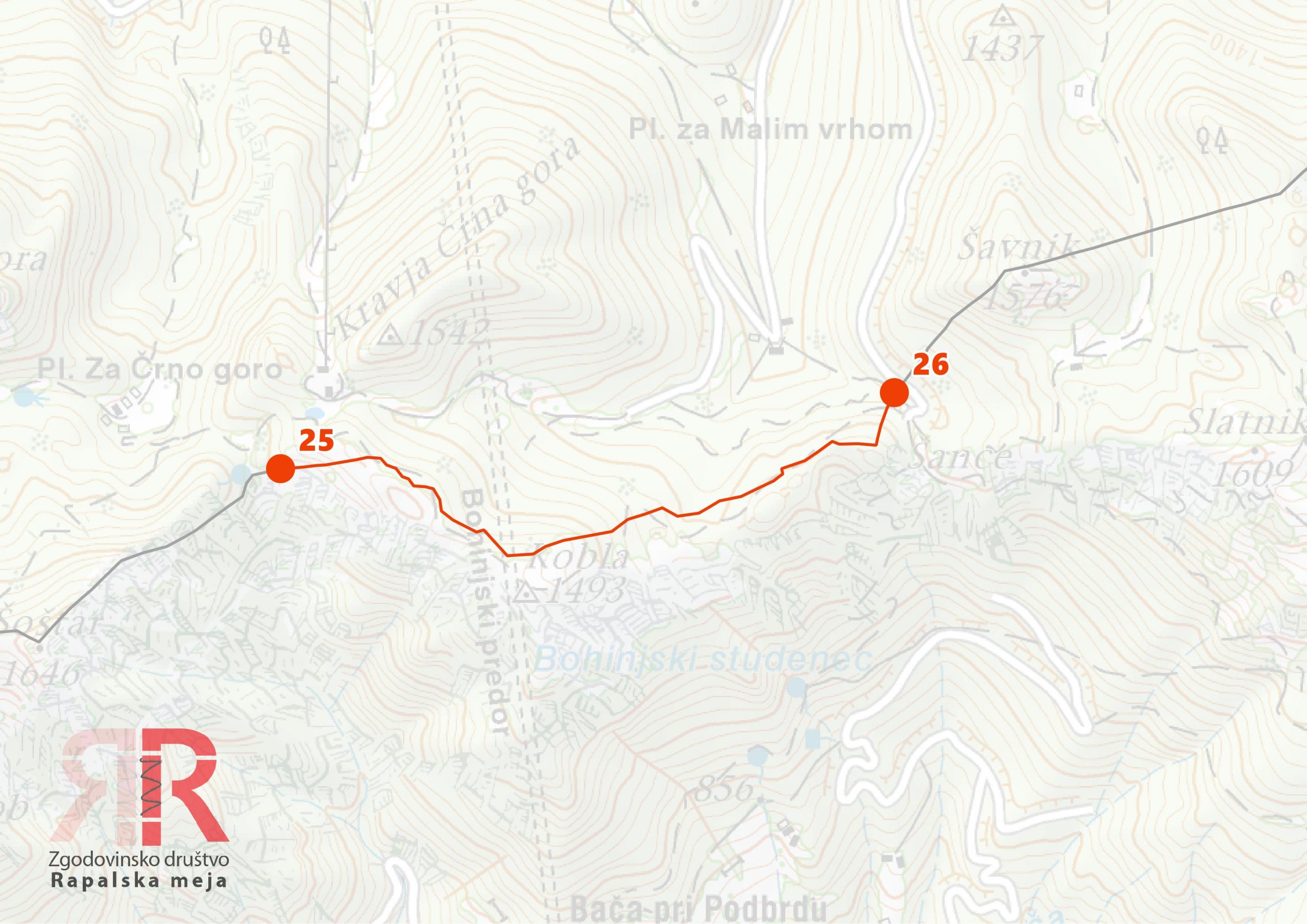
Sector 26 - Vrh Bače - Šavnik - Čevžl - Soriška planina - Dravh


Sector 27 - Dravh - Petrovo Brdo


Sector 28 - Petrovo Brdo - Hoč
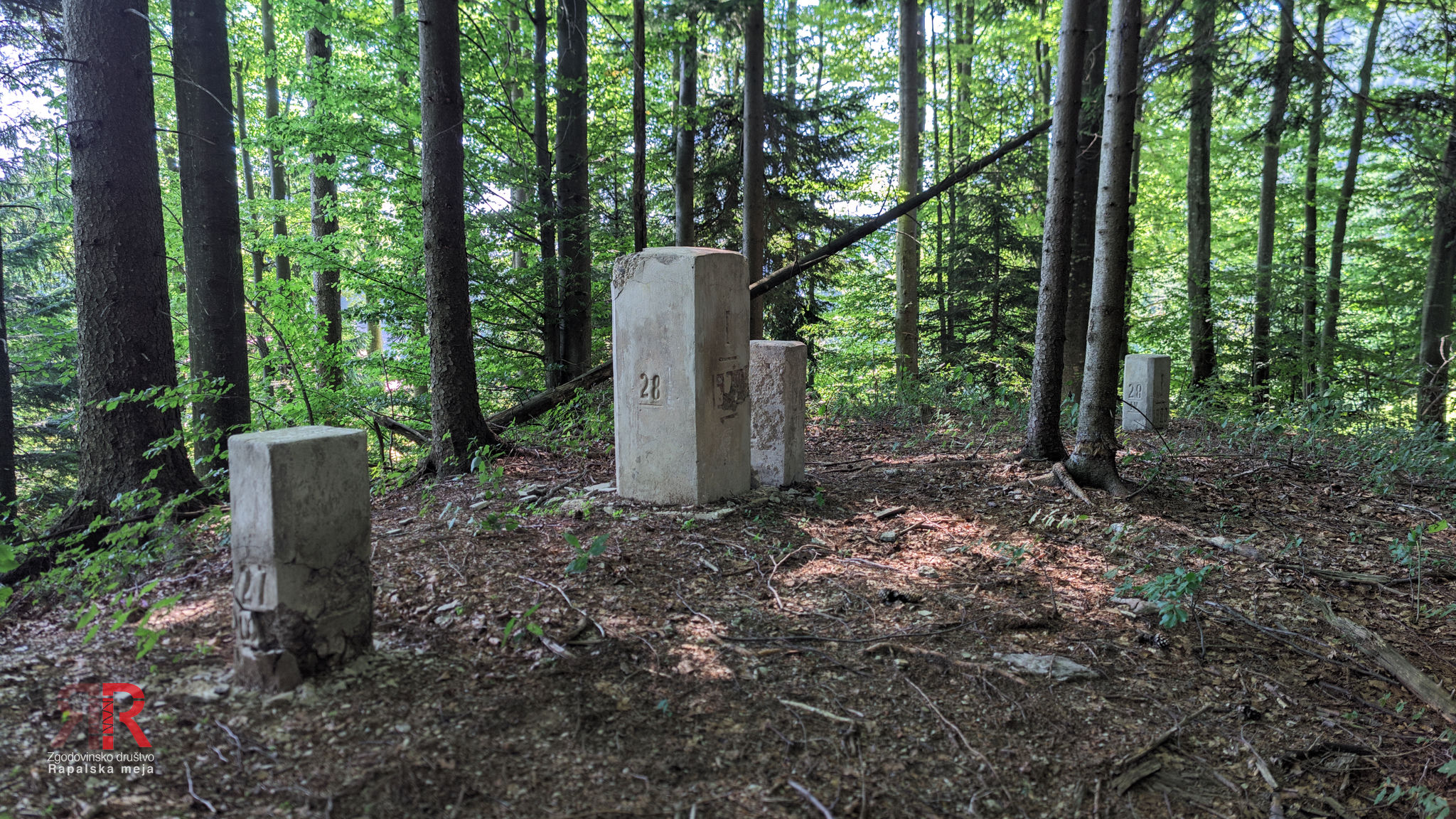


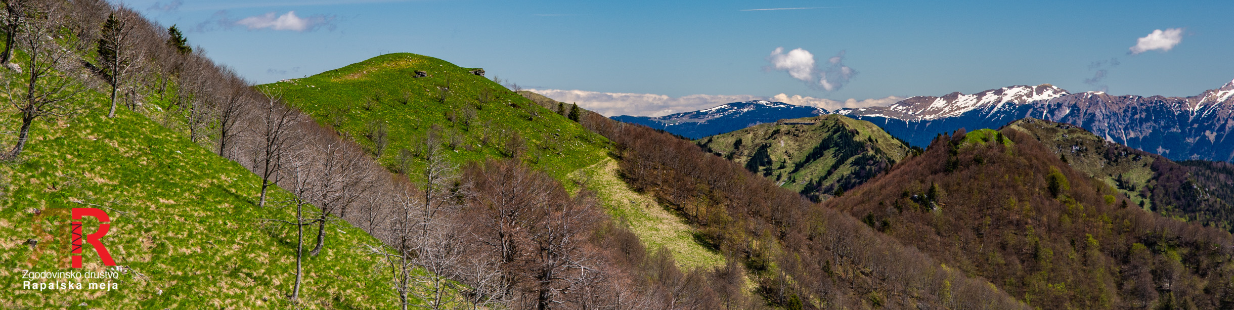
Central section - settled area
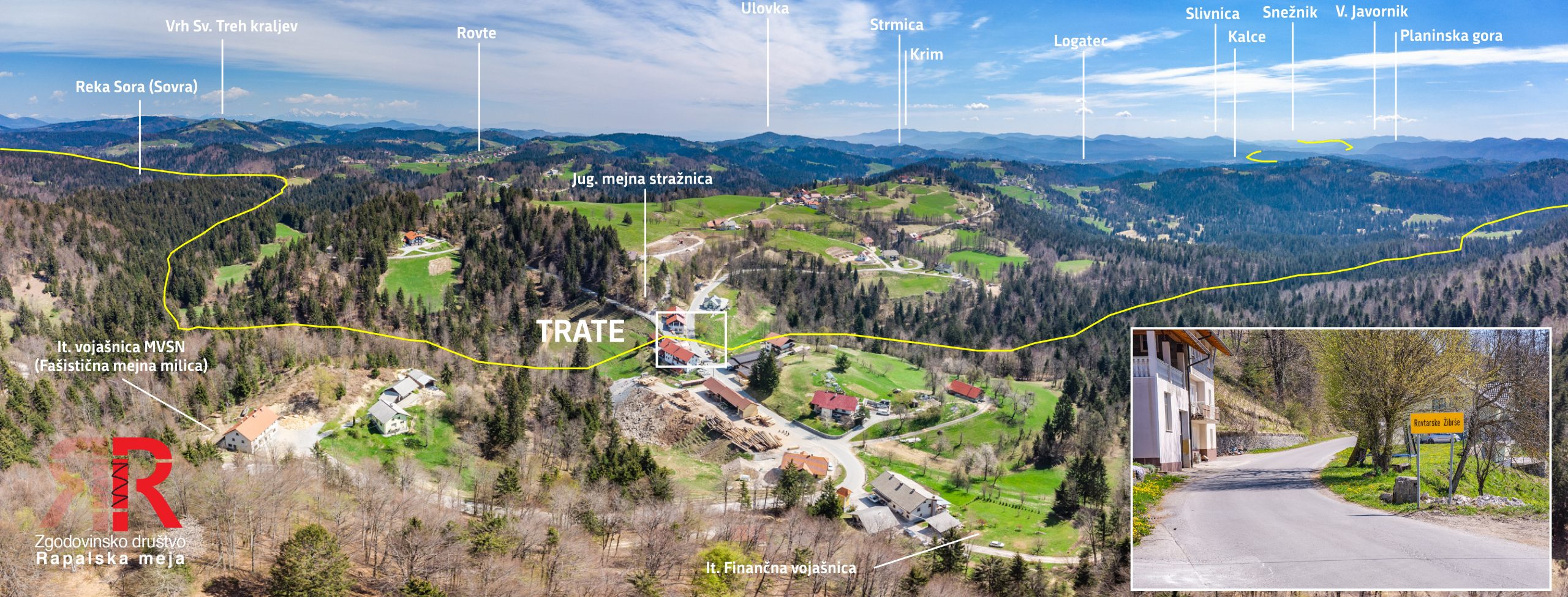
The central section differs fundamentally from the alpine one: here the border does not follow ridges but crosses them. In the Cerkljansko, Idrijsko and Škofjeloško hills, Italy forced the line to run just below the watershed — key passes and peaks remained on the Italian side, while settlements lost their natural hinterland. From Hoč the border descends across the eastern slopes of Porezen (1630 m) and turns towards Blegoš, where it turns southwest. Across the hills of the Cerkljansko and Idrijsko it cuts valleys at right angles — streams flow into Yugoslavia, passes remain with Italy. At Sovodenj it makes an exception and leaves it to Yugoslavia; at Medvedje Brdo (814 m) above Godovič it crosses the old provincial boundary for the last time. From here onwards to the present Slovenian-Croatian border it runs exclusively through the territory of Carniola. In the second part of the section the landscape becomes lower and more settled. The border skirts Hotedršica, follows the southern side of the Logatec–Ajdovščina road, crosses the Planinsko polje beside the Hošperk manor and cuts off Planina from surrounding settlements. Before Stražnik it crosses the southern railway line and in an almost straight line reaches Veliki Javornik (1269 m) — the entry point into the vast Dinaric forests.
Sector 29 - Hoč - Hum

Sector 30 - Hum - Prvič - Bičkarjev vrh


Sector 31 - Bičkarjev vrh - Črni vrh
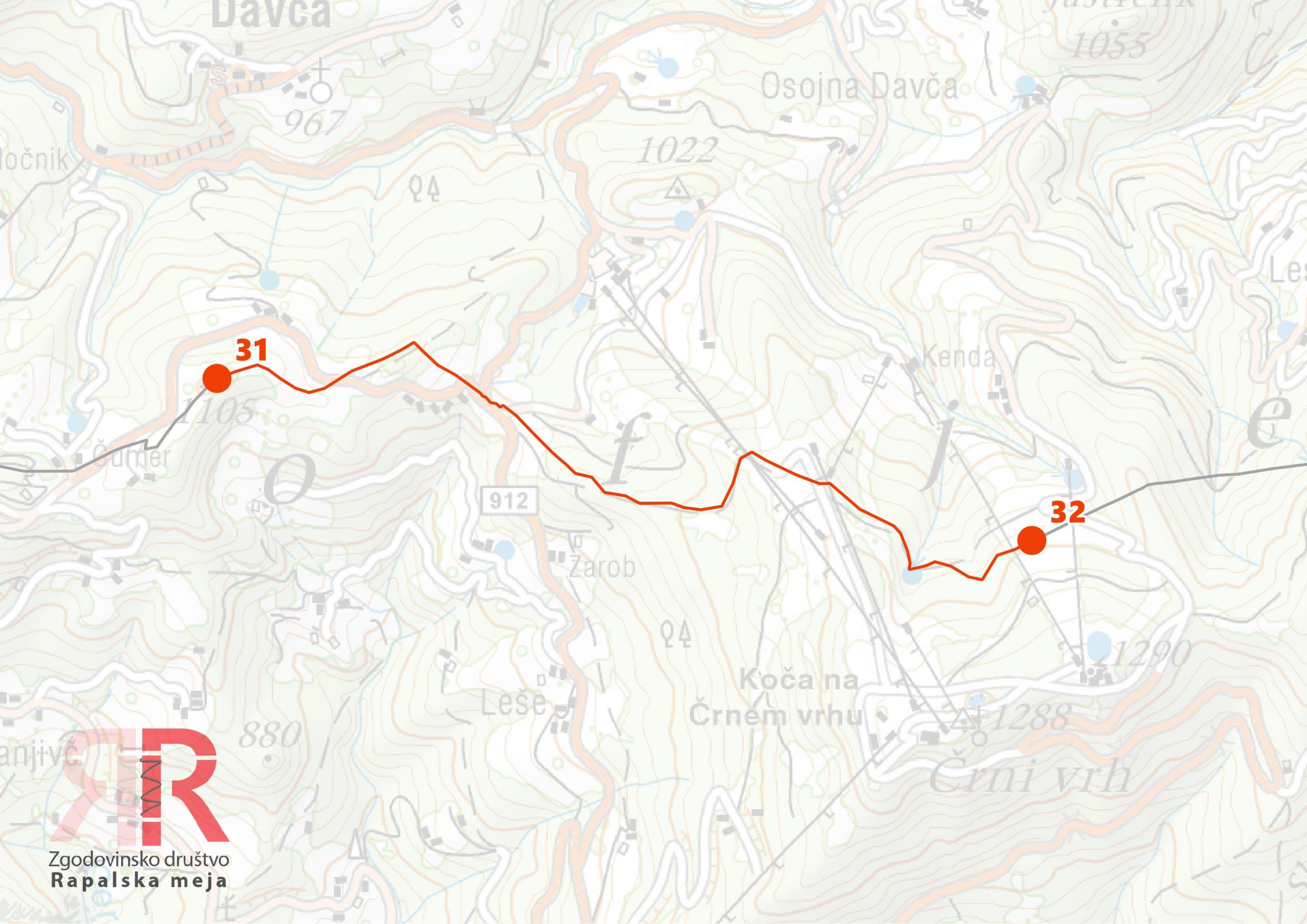
Sector 32 - Črni vrh - Kovk

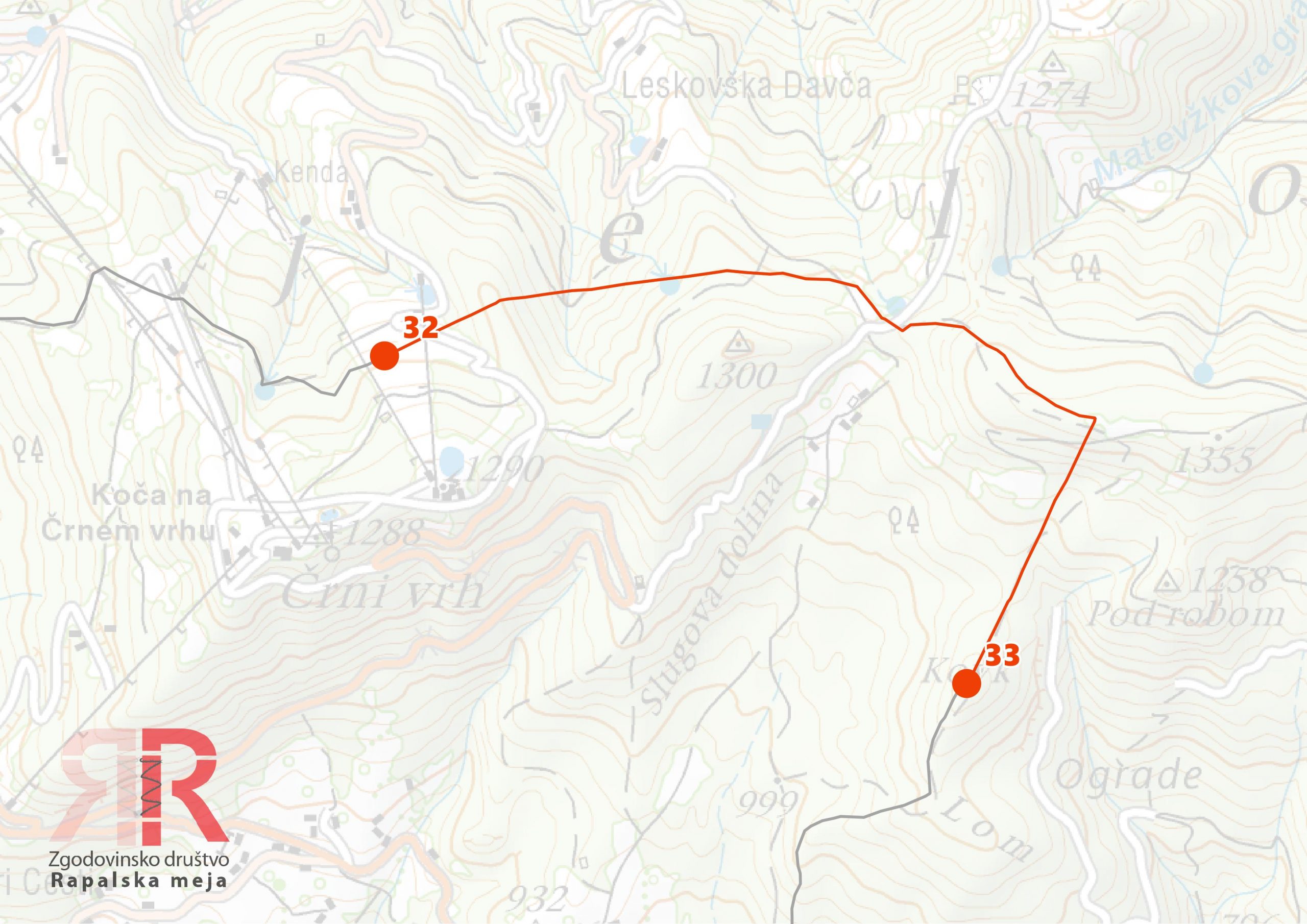
Sector 33 - Kovk - Leskovica - Krnice pri Novakih

Sector 34 - Krnice pri Novakih - Vrhovčev grič
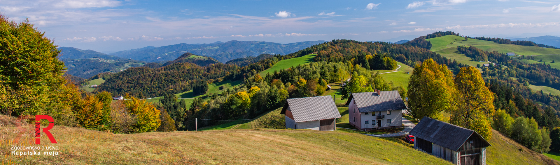

Sector 35 - Vrhovčev grič - Nova Oselica
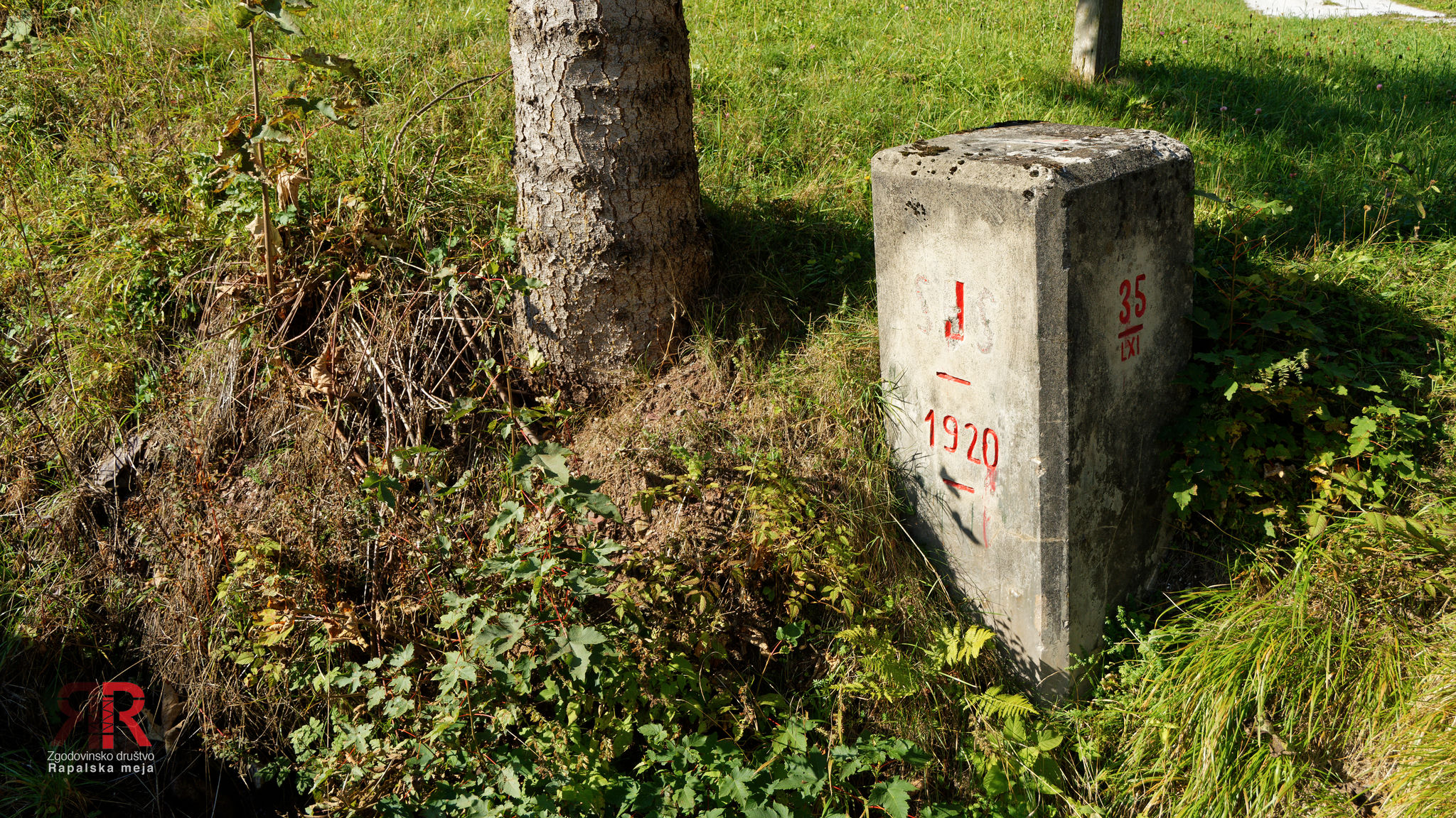
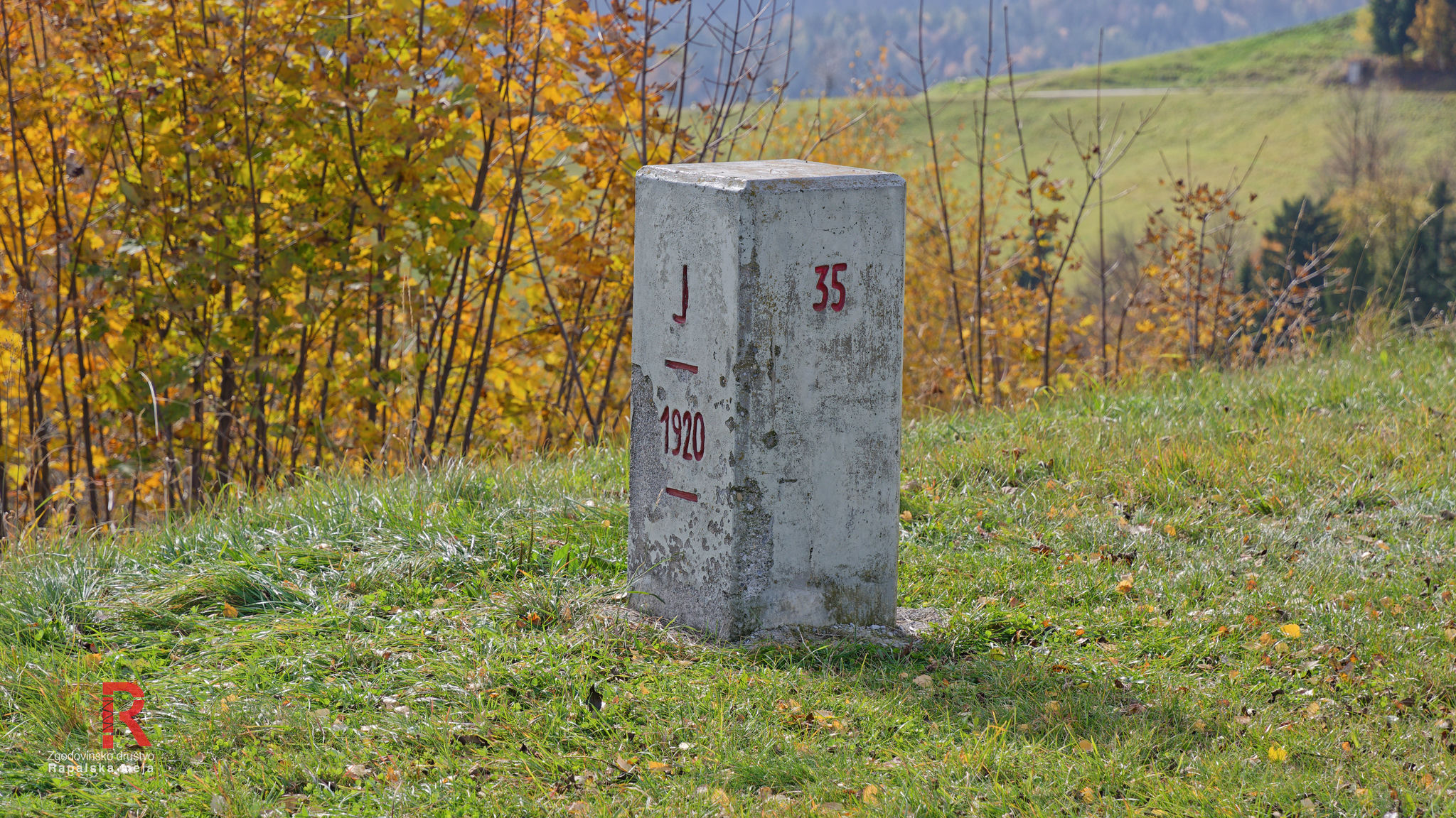

Sector 36 - Nova Oselica - Laniše


Sector 37 - Laniše - Mrzlik

Sector 38 - Mrzlik - Breznica


Sector 39 - Breznica - Vrsnik

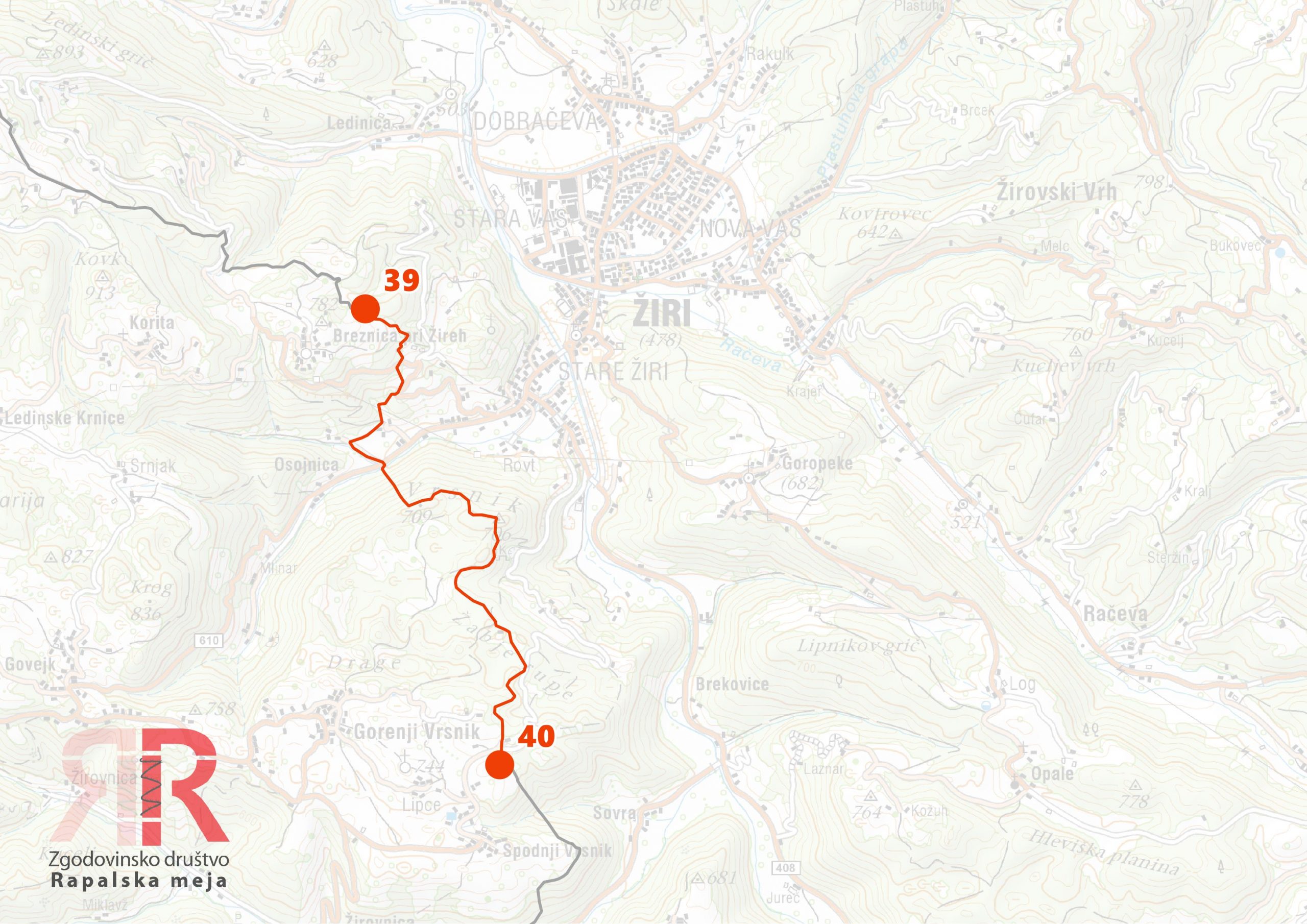
Sector 40 - Vrsnik - Ravne pri Žireh


Sector 41 - Ravne pri Žireh - Zavratec - Brnikov Log

Sector 42 - Brnikoc Log - Lanevše - Trate
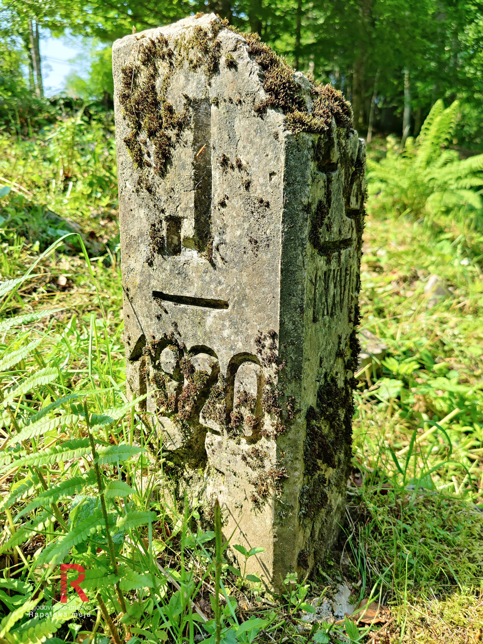
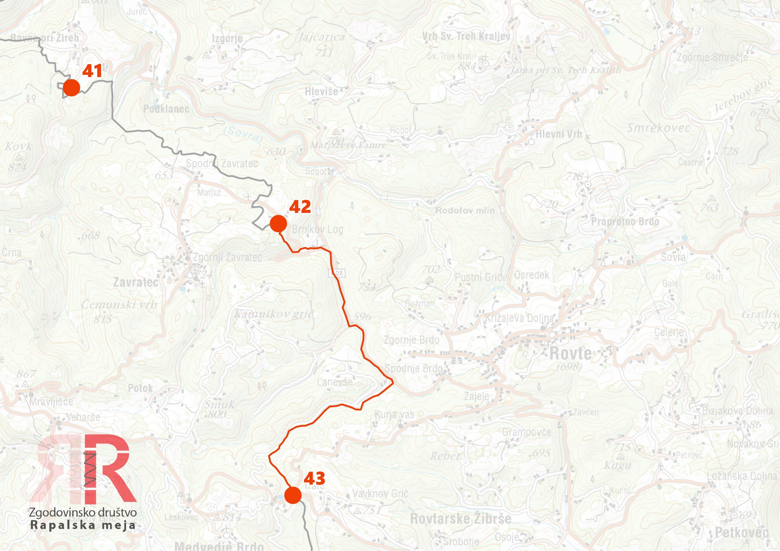
Sector 43 - Trate - Žejna dolina - Kobila


Sector 44 - Kobila- Hotederšica - Log
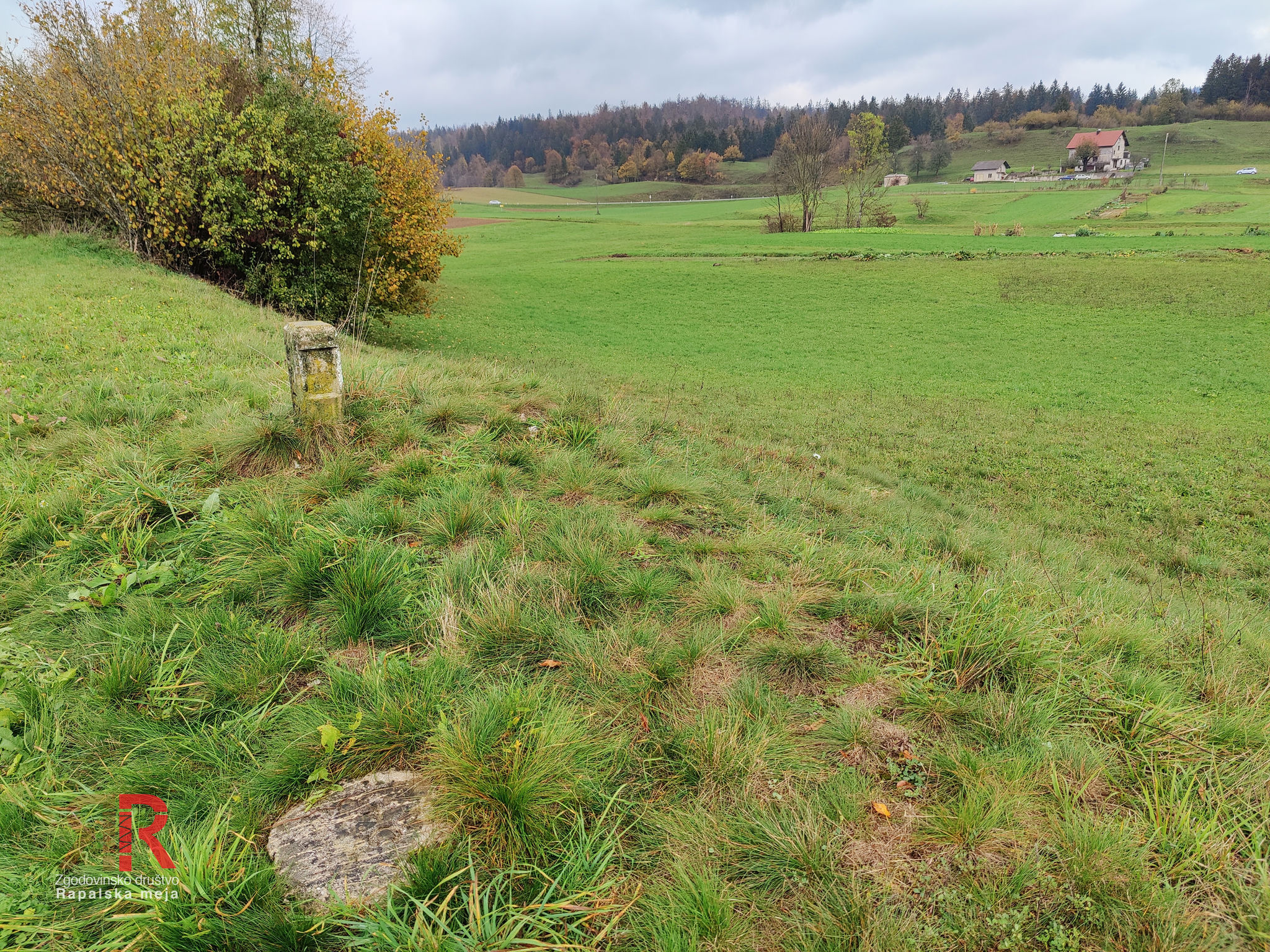


Sector 45 - Log - Novi Svet - Kalce

Sector 46 - Kalce - Grčarevec
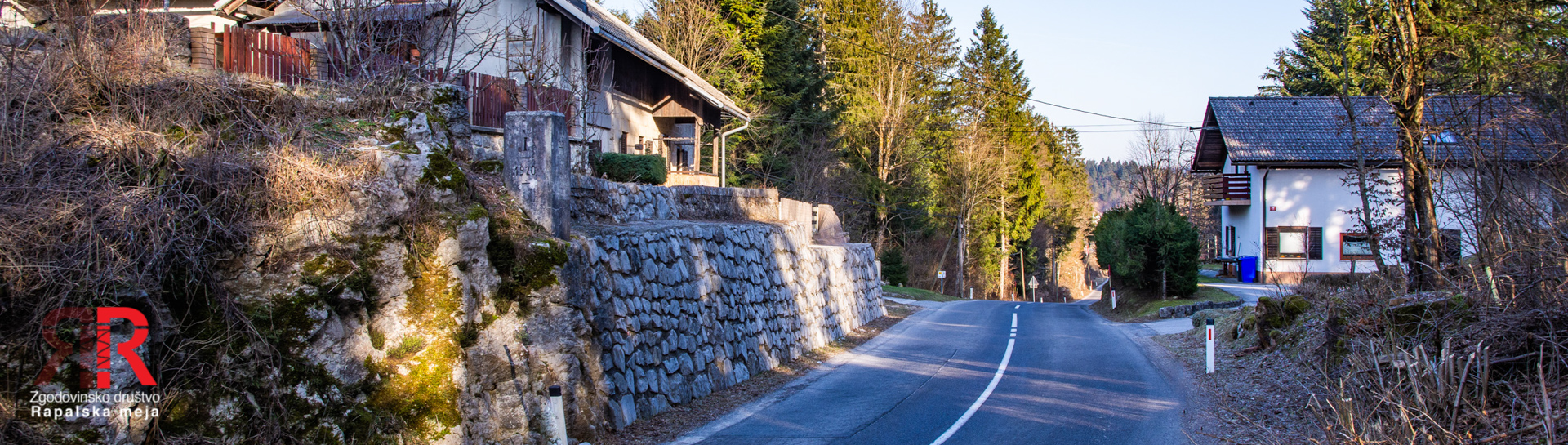

Sector 47 - Grčarevec - Lipje

Sector 48 - Lipje - Planina
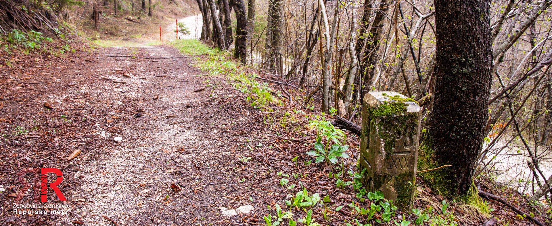
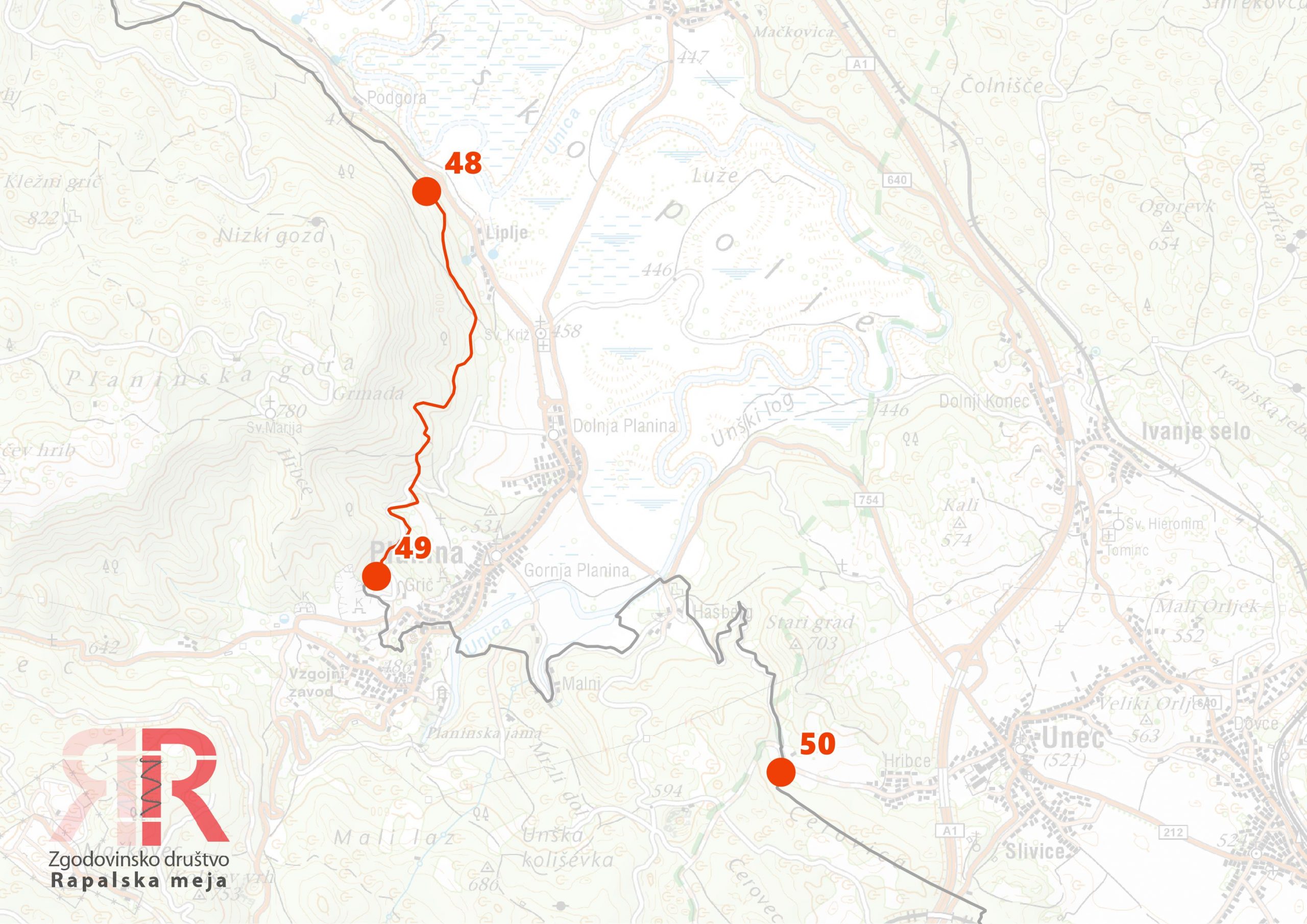
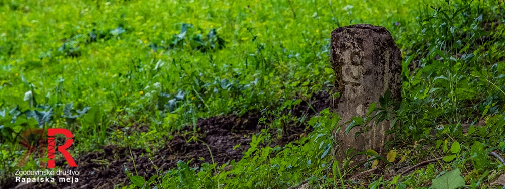
Sector 49 - Planina - Planinsko polje -Hasberg - Unec


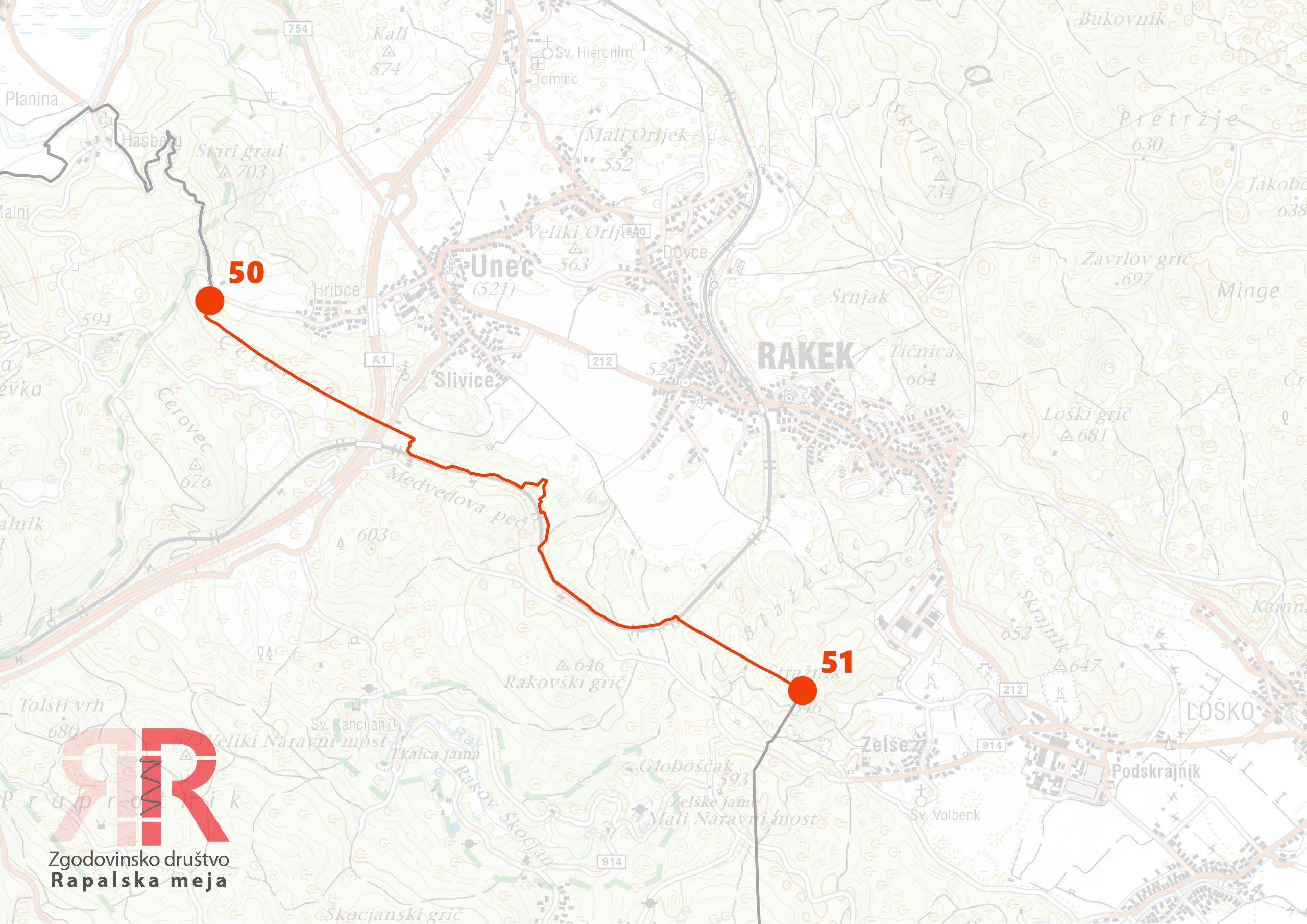
Sector 50 - Unec - Stražnik

Southern section - vast forests
The southern section runs through one of the largest contiguous forested areas in Slovenia and Croatia — across the Javorniki, Snežnik and the slopes of Gorski Kotar all the way to Matulji near Rijeka. Unlike the northern section, the border here does not follow natural boundaries. It runs in predominantly straight lines between summits: from Veliki Javornik across Debeli vrh, Lačnik (1103 m) and Škodovnik (1260 m) to Leskova dolina. From here it turns south and at Črni vrh (1121 m) south of Gomance finally leaves Slovenian territory. In Croatia it crosses Trstenik (1248 m) and Štulac (1057 m) — the last two peaks above 1000 metres — and descends into the Mlaka valley. It divides Klana and Studeno westward, then rises to Mačkov vrh and continues south to Majevi vrh. Here begins the final, 69th sector of the original border — but this one no longer runs through forest, but between the settlements of Spinčići, Matulji and Rubeši in the outskirts of Rijeka.
Sector 51 - Stražnik - Škanski grič - Lašček

Sector 52 - Lašček - Čela

Sector 53 - Čela - Suhi vrh
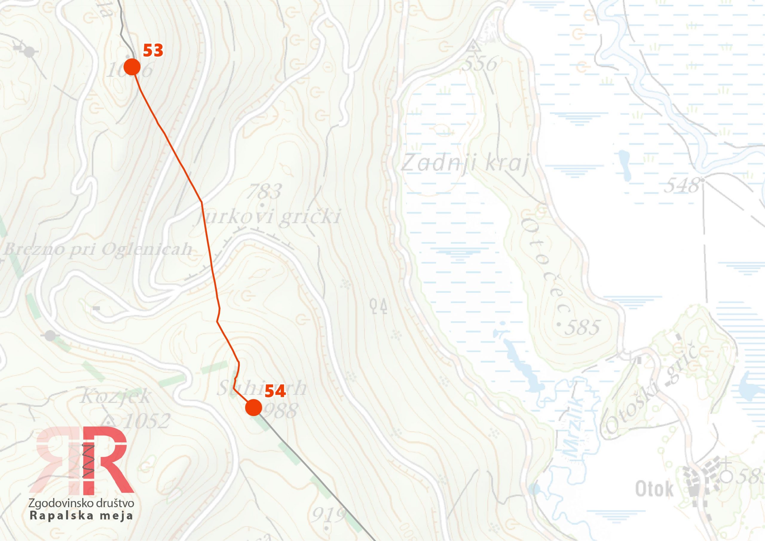
Sector 54 - Suhi vrh - Otoška dolina


Sector 55 - Otoška dolina - Lačnik

Sector 56 - Lačnik - Škrajni vrh


Sector 57 - Škrajni vrh - Bički laz

Sector 58 - Bički laz - Leskova dolina
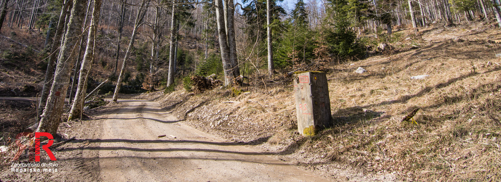


Sector 59 - Leskova dolina - Korita - Vavkovec

Sector 60 - Vavkovec - Praprotna draga - Paravičeva miza


Sector 61 - Paravičeva miza - Jelenja draga - Čabranska polica

Sector 62 - Čabranska polica - Veliki Smrekovac - Brlog


Sector 63 - Brlog - Zeleni vrh

Sector 64 - Zeleni vrh - Štulac - Proslap
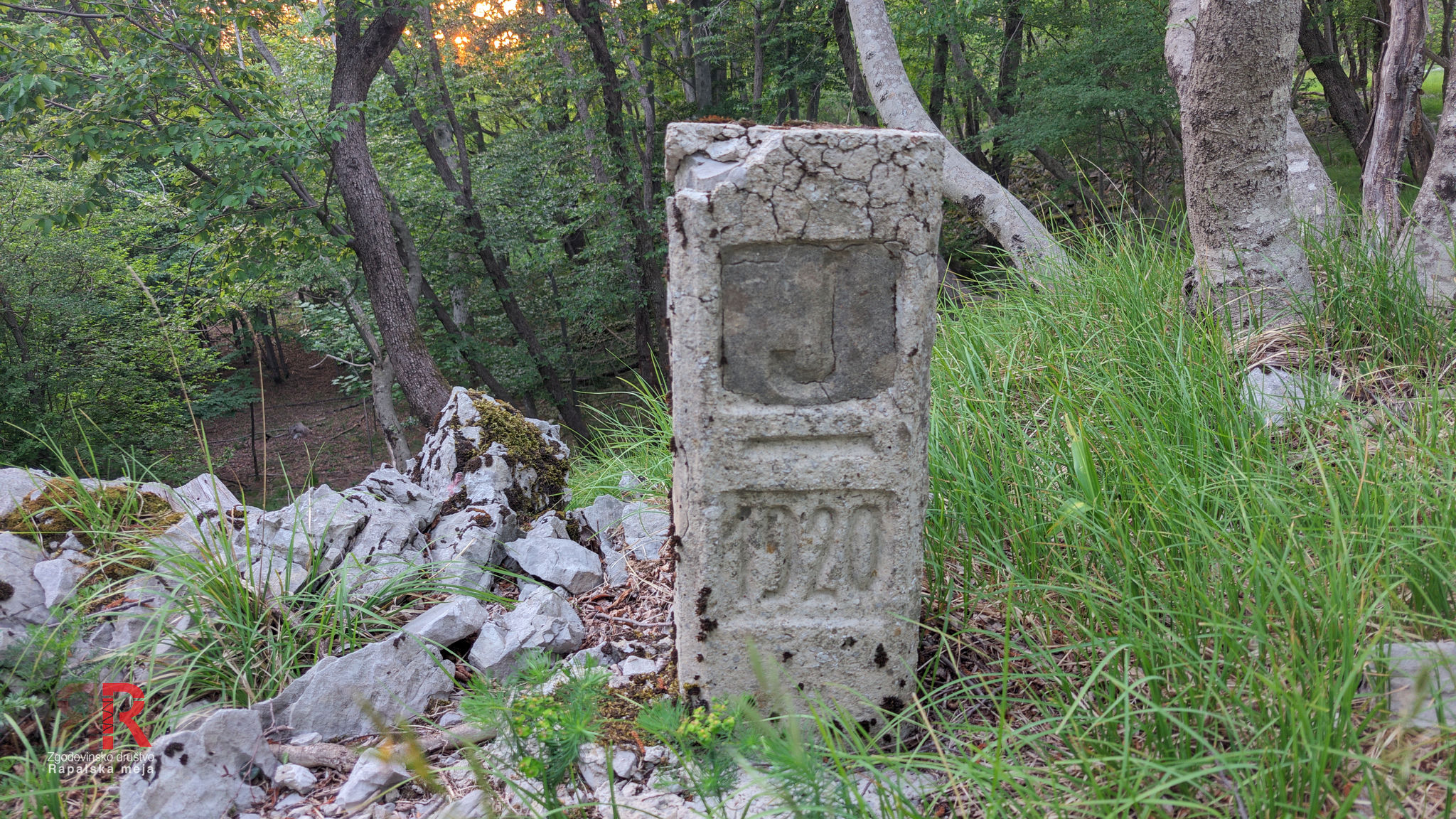

Sector 65 - Proslap - Bojin

Sector 66 - Bojin - kota 554
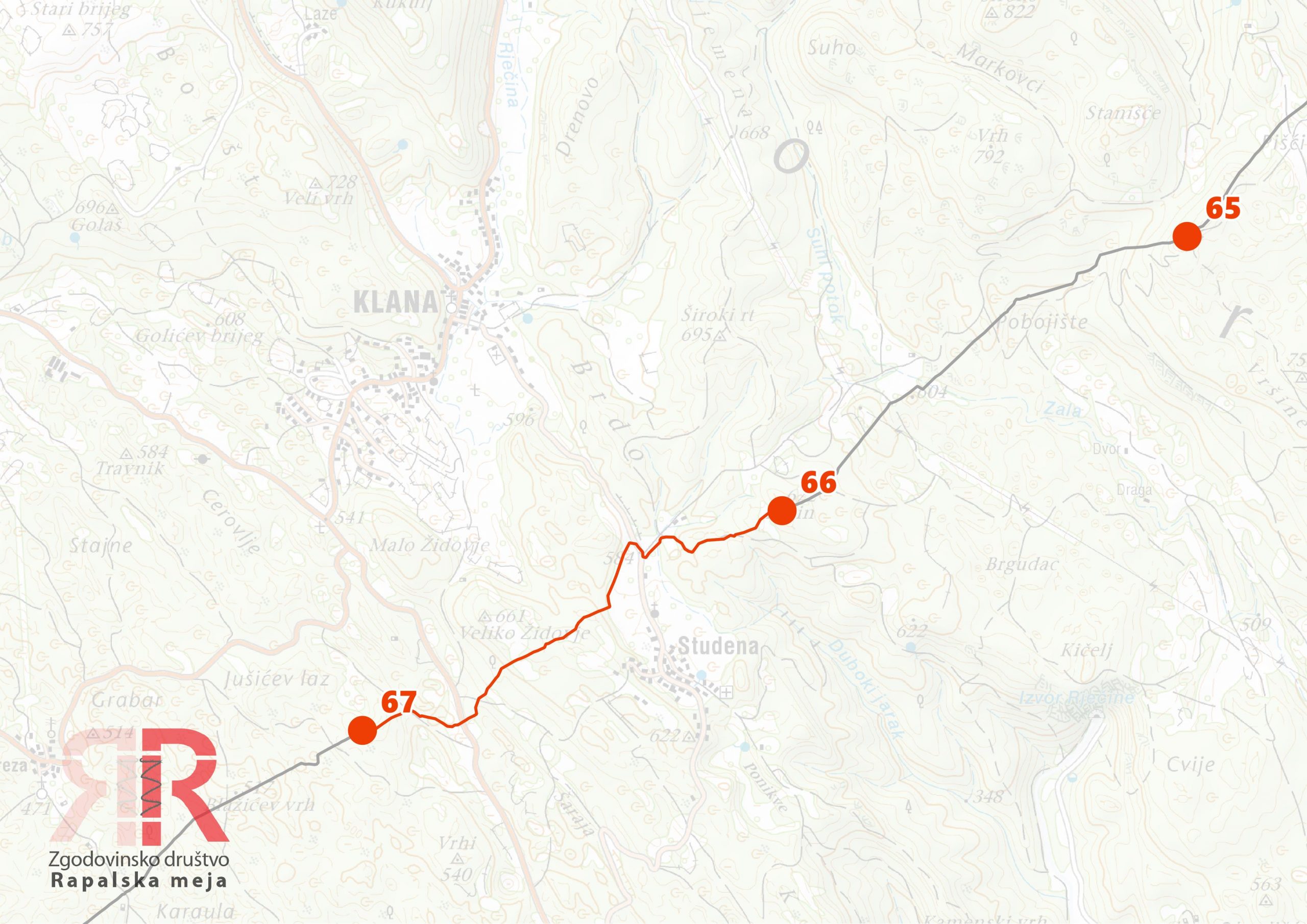
Sector 67 - Kota 554 - Mačkov vrh
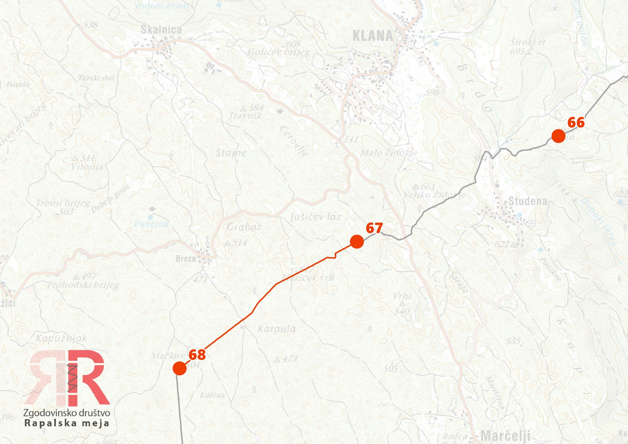
Sector 68 - Mačkov vrh - Majevi vrh

Sector 69 - Majevi vrh - Trinajstići - Matulji


Rijeka Area
Sector 69 was the last sector of the original Rapallo Border. It ended at a special tripoint marker that marked the junction of three territories: the Kingdom of Italy, the Kingdom of SHS and the Free State of Fiume. This marker — number 70 — differed in form from the tripoint at Peč where the border began, as it also had to mark the border with a state entity of an entirely different status. With the abolition of the Free State of Fiume in 1924, the tripoint marker lost its purpose. The border was extended further toward the sea — but with a notable difference: while the entire Rapallo Border from Peč to Majevi vrh is marked with concrete markers, the new extended route in 1924 was marked with hewn stones. The Rijeka section is thus a distinct entity by the material appearance of its markers, reflecting both a different time of creation and a different political context. Boundary marker number 70 became a relic of the brief and turbulent history of a city that two kingdoms could not divide without a mediator.
Sector 70 - Matulji - Martinkovac - Reka
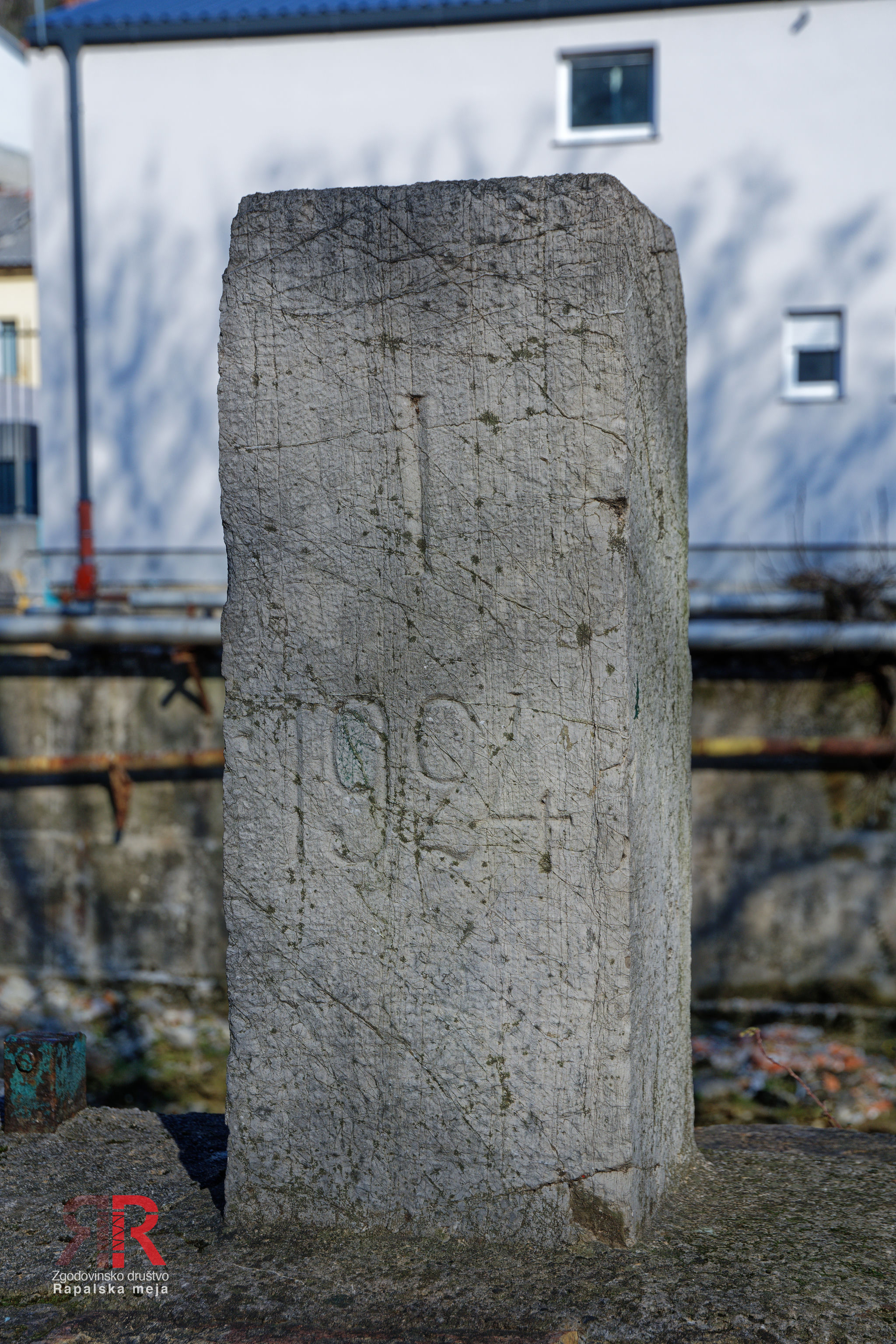
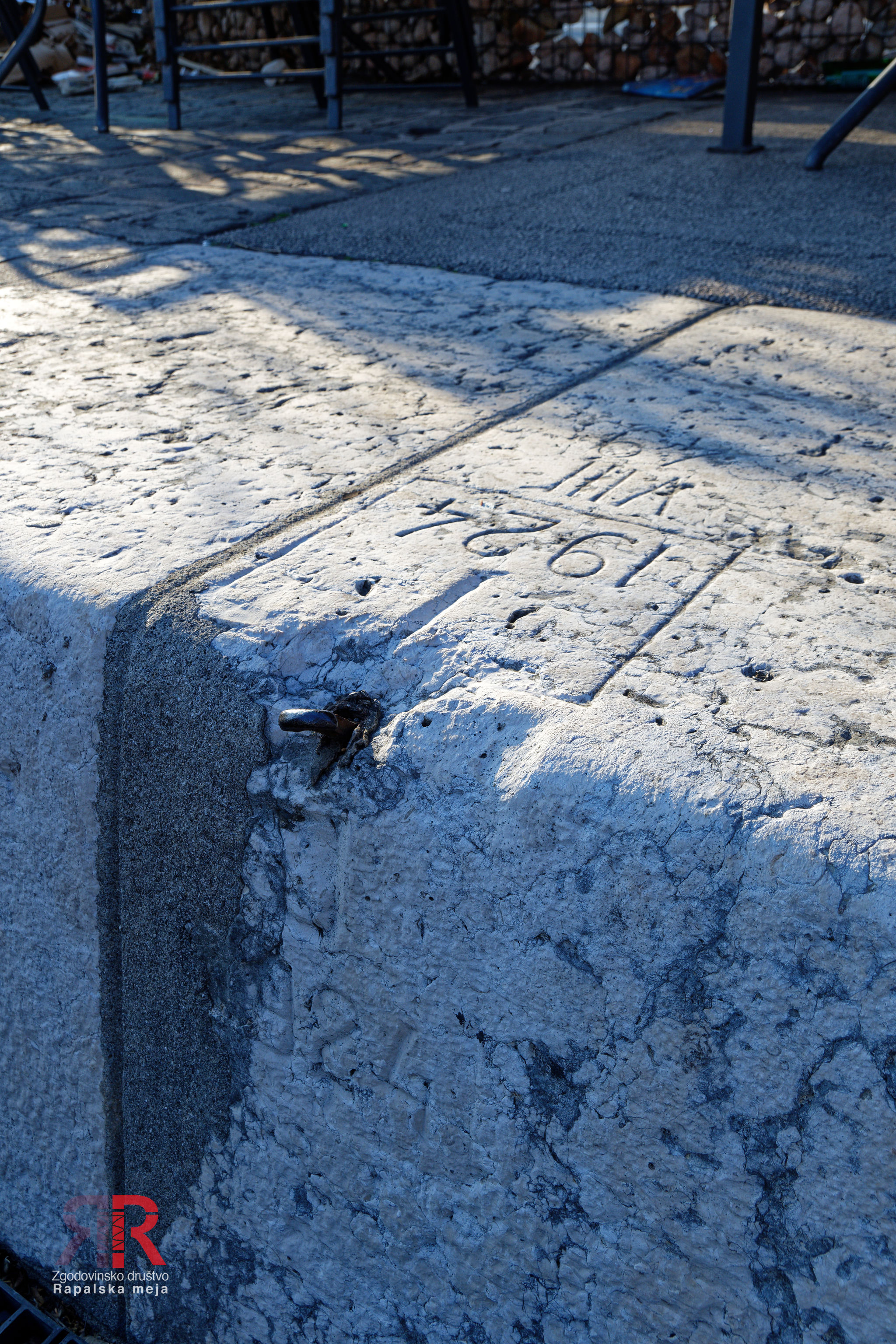
The Rijeka section is the only part of the Rapallo Border that was not created in 1920 together with the rest. The original border ended at the tripoint with the Free State of Fiume — a short-lived independent territory belonging to neither Italy nor Yugoslavia. When the Rome Agreement of 1924 abolished this state and divided its territory, the border had to be extended to the sea. The new line ran between the city of Rijeka, which fell entirely to Italy, and the port of Baroš at the mouth of the Rečina river into the Adriatic, which went to Yugoslavia. The border cut through the urban fabric almost surgically — it ran between neighbouring settlements, followed streets and ended by the Dead Canal, the former mouth of the Rečina into the port. The Italians erected a wall along their side of the border parallel to the boundary line, which literally blocked streets and severed city quarters. For Yugoslavia, Baroš was strategically crucial for two reasons: without its own outlet to the Adriatic it would have been dependent on Italian goodwill for every maritime export, while at the same time a railway from the interior led into the port — a direct connection between the Slovenian and Croatian hinterlands and the open sea. The Rijeka section is thus the only part of the Rapallo Border where it was not about nature or geography, but about port infrastructure and railway access to it.